Best Places on a Vancouver Rockies Loop:
Lakes, Glaciers, Waterfalls and Mountain Towns
Best Places on a Vancouver Rockies Loop: Lakes, Glaciers, Waterfalls and Mountain Towns
A Vancouver Rockies loop is one of the most varied ways to experience Western Canada. Instead of travelling in one direction from Vancouver to Calgary, this route creates a full circle: Vancouver to the Okanagan, across the mountain parks to Banff and Jasper, back through Wells Gray and interior British Columbia, then down through Whistler and the Sea to Sky Highway before returning to the coast.
The appeal is not only the Canadian Rockies. It is the contrast between regions. In one loop, travellers can see coastal mountains, river valleys, lake country, railway towns, national parks, turquoise lakes, glaciers, waterfalls, alpine villages, historic roads and ocean fjord views.
This guide is written as an informational overview of the best places and landscapes on a Vancouver–Rockies–Whistler loop. It is designed to help travellers understand what each region adds to the journey, which stops are worth knowing, and how to think about the route without turning it into a rushed checklist.
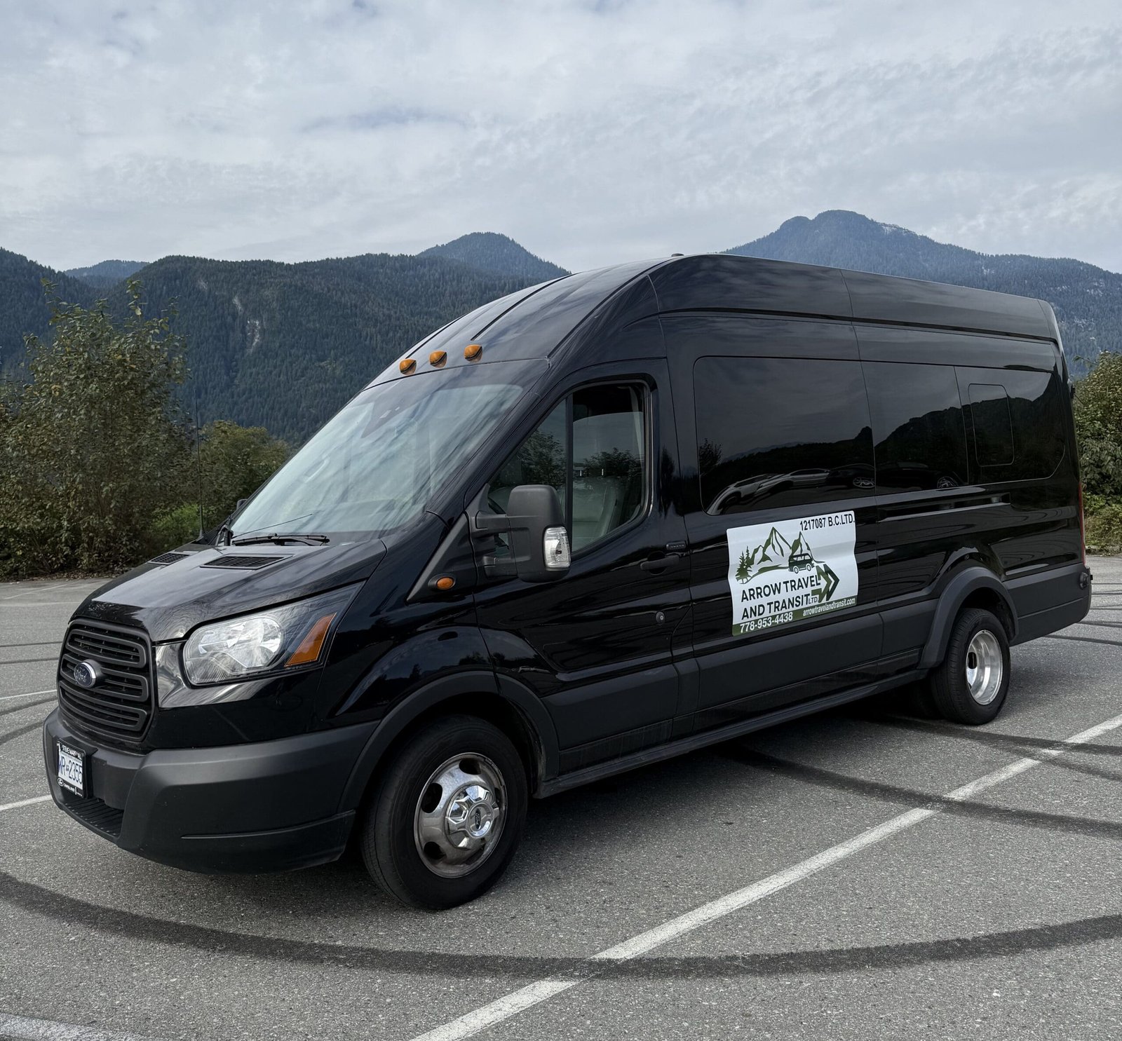
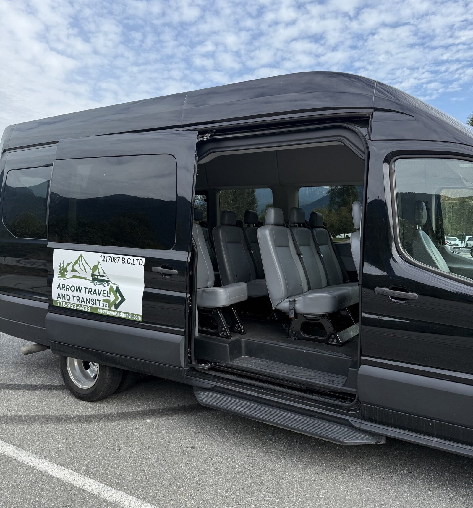
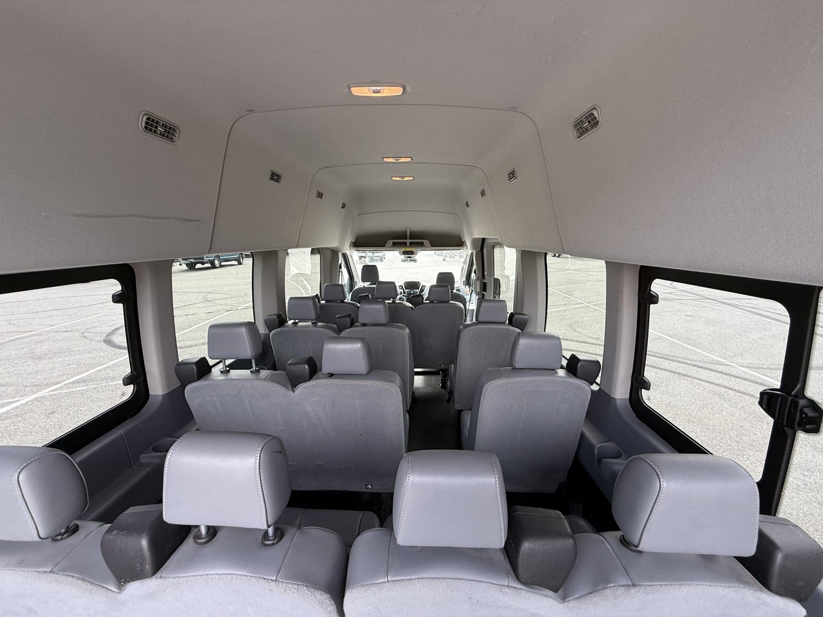
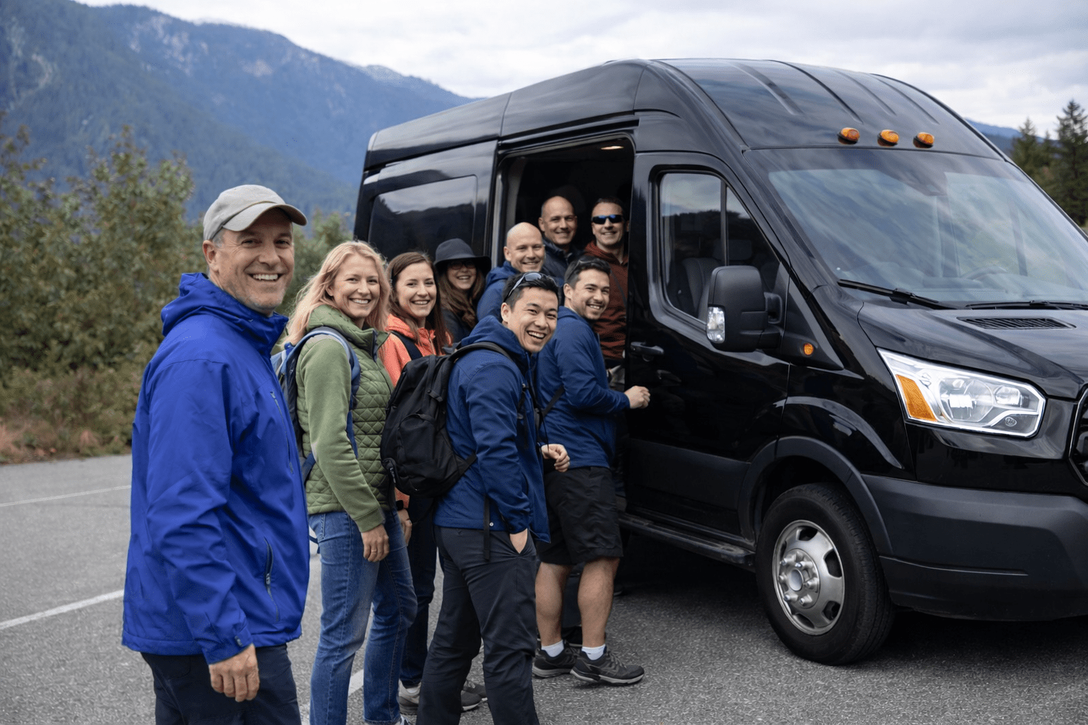
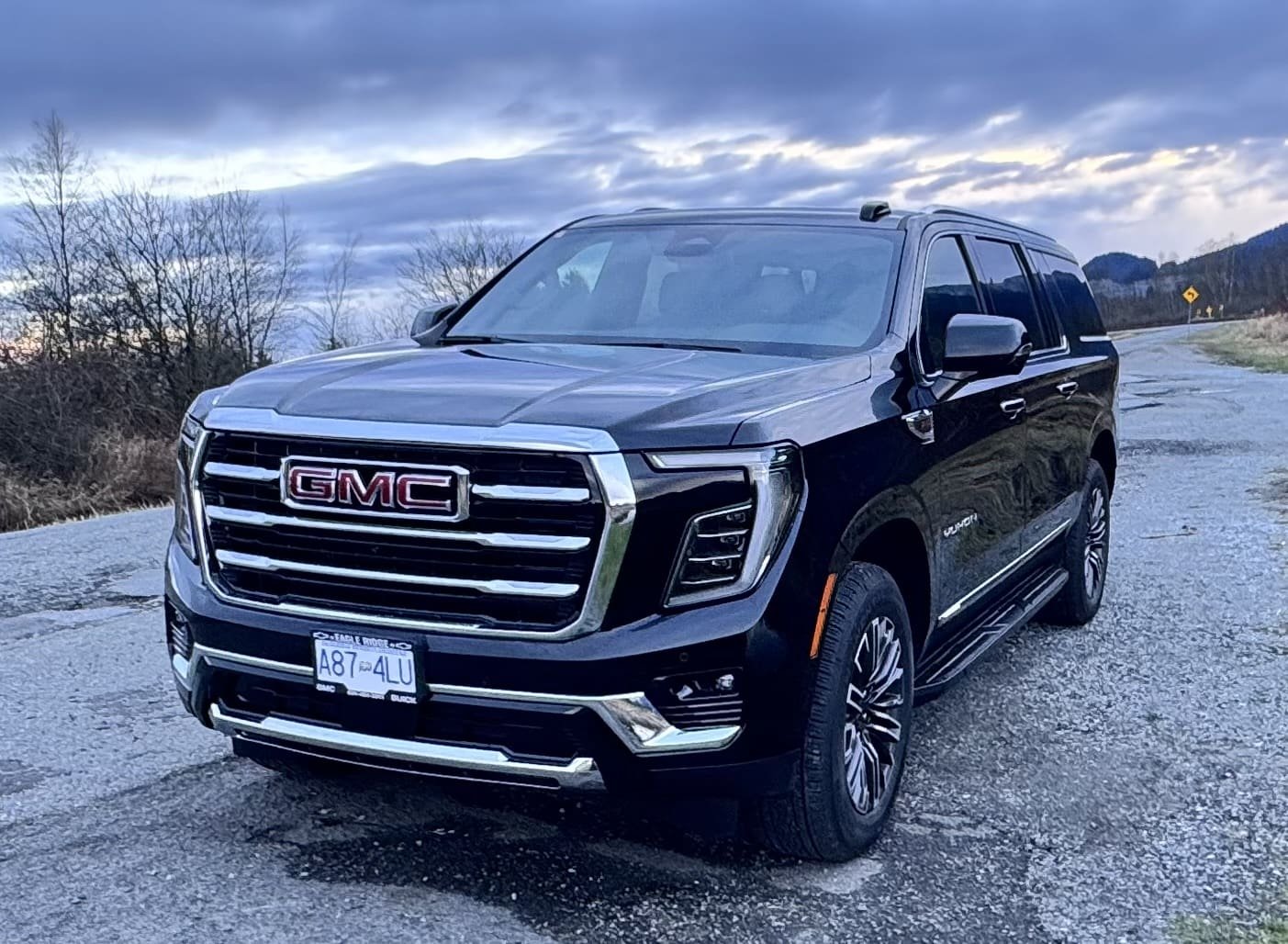
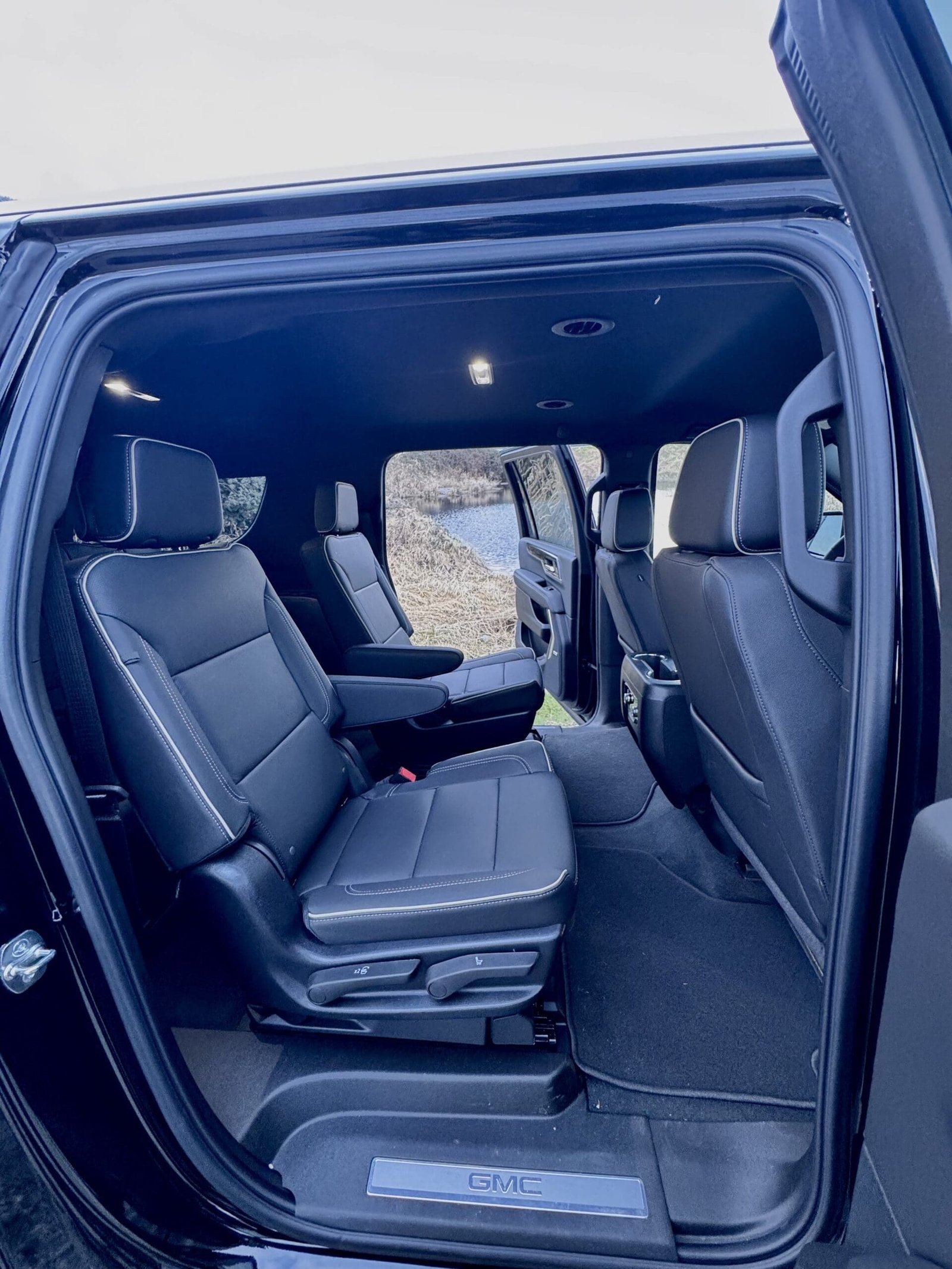
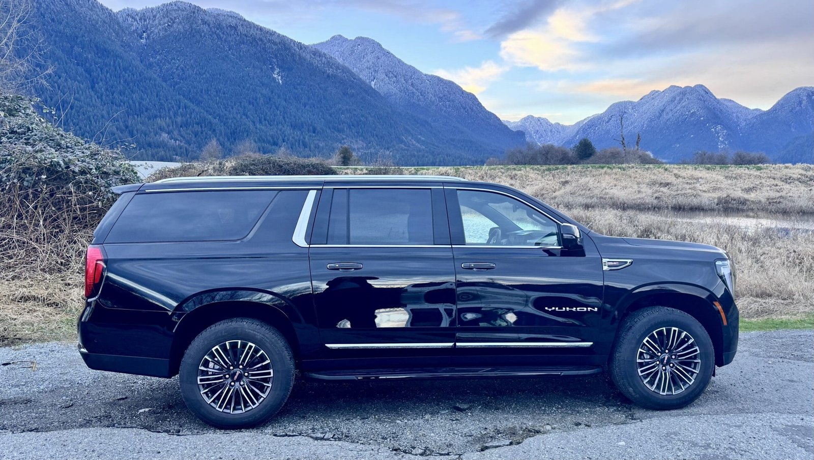
For travellers who prefer a planned private version of this type of route, Arrow Travel & Transit offers a tailor-made Rocky Mountains adventure from Vancouver. The rest of this article focuses on the destinations themselves, so you can understand why this loop is one of the most complete scenic routes in Western Canada.
Why a Vancouver Rockies Loop Is Different
A loop route feels different from a one-way trip because it does not simply move from Point A to Point B. It builds a wider picture of British Columbia and Alberta.
A one-way Vancouver to Calgary route is excellent for travellers who want to finish near Calgary International Airport. A Vancouver Rockies loop is better for travellers who want to return to the coast and experience more of British Columbia on the way back.
The loop format can include several major landscape zones:
- Fraser Valley and Hope
- Okanagan Valley and Kelowna
- Revelstoke and the Columbia Mountains
- Glacier National Park and Rogers Pass
- Yoho National Park
- Banff National Park
- Icefields Parkway and Columbia Icefield
- Jasper National Park
- Mount Robson
- Wells Gray Provincial Park
- Lillooet and Duffey Lake Road
- Pemberton and Whistler
- Sea to Sky Highway and Howe Sound
This is why the route works well for travellers who want variety. The Rockies are the dramatic centrepiece, but the supporting landscapes make the journey feel larger and more complete.
Fraser Valley and Hope: The Transition Out of Vancouver
The first part of the loop usually moves east from Vancouver through the Fraser Valley. This area may not feel as dramatic as the Rockies, but it plays an important role in the journey. It marks the transition from coastal Metro Vancouver into farmland, river valleys and mountain approaches.
Hope is often the first meaningful small-town stop. Surrounded by mountains and located near major highway junctions, it has long been a gateway to interior British Columbia. It is also connected to Gold Rush history, film locations, river scenery and outdoor routes leading toward the Fraser Canyon, Coquihalla and Okanagan.
For travellers, Hope is useful because it gives the route its first sense of leaving the city behind. The drive begins to feel more open, more mountainous and more connected to British Columbia’s transportation history.
Okanagan Valley: Lakes, Vineyards and Warm Interior Landscapes
The Okanagan Valley adds a completely different mood to the loop. After leaving the coast and Fraser Valley, the landscape becomes warmer, drier and more open. Lakes, orchards, vineyards, hillsides and small communities create a softer interior atmosphere before the route enters the high mountains.
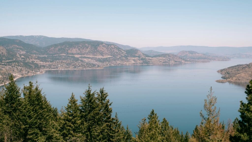
Kelowna is one of the main Okanagan stops. It sits along Okanagan Lake and is surrounded by wineries, farms, beaches, viewpoints and rolling valley scenery. Even if travellers do not spend a long time here, the region adds important contrast to the journey.
The Okanagan matters because it prevents the trip from feeling like only a mountain route. It shows another side of British Columbia: sunny lake country, agricultural landscapes, wine culture and relaxed interior travel.
What to Notice in the Okanagan
The Okanagan is best appreciated as a region, not as one single attraction. The appeal is in the combination of lake views, dry hills, vineyards, orchards and long valley roads.
For travellers who enjoy photography, this part of the loop offers softer light and warmer colours than the Rockies. It can be especially beautiful in summer and early autumn, when the valley feels active and the scenery is full of contrast.
The Okanagan also works well as a pacing point. It breaks up the long distance between Vancouver and the mountain parks and gives the first day of travel a more varied feel.
Shuswap Lake and the Road Toward Revelstoke
After the Okanagan, the route often continues toward Vernon, Shuswap Lake and Revelstoke. This section is important because it gradually shifts the scenery from interior lake country to the Columbia Mountains.
Shuswap Lake adds another water-and-mountain landscape before the road becomes more alpine. The drive feels different from the Okanagan: greener, more forested and more closely connected to mountain corridors.
This part of the journey helps travellers feel the landscape changing again. The route is no longer about vineyards and orchards. It begins to move toward steeper valleys, deeper forests and mountain towns.
Revelstoke: A Mountain Town Before the National Parks
Revelstoke is one of the best mountain-town stops on a Vancouver Rockies loop. It has a strong railway history, a scenic alpine setting and a less polished feel than Banff or Whistler.
For many travellers, Revelstoke is where the journey starts to feel truly mountainous. The town is surrounded by peaks and forests, and it sits close to Mount Revelstoke National Park, Glacier National Park and Rogers Pass.
Revelstoke is worth understanding as more than an overnight stop. It represents the Columbia Mountains, railway corridors and the rugged interior landscape that connects British Columbia with the Rockies.
Why Revelstoke Adds Depth to the Route
Revelstoke adds depth because it is not as internationally famous as Banff, yet it is deeply connected to the route’s geography. It gives the loop a more local and historical layer.
The town has long been shaped by transportation, snow, mountains and outdoor recreation. For visitors who enjoy scenic routes, railway history and mountain communities, Revelstoke can be one of the most memorable pauses before the national park section begins.
Even a short stay can help the route feel less rushed. A walk, meal or evening stop in Revelstoke makes the transition into the higher mountains more natural.
Glacier National Park and Rogers Pass
Glacier National Park in British Columbia is one of the most dramatic parts of the route. It should not be confused with Glacier National Park in Montana. Canada’s Glacier National Park lies in the Columbia Mountains and is known for rugged peaks, heavy snowfall, avalanche paths, old-growth forest, glaciers and the historic Rogers Pass corridor.
Rogers Pass is one of the key mountain crossings in Canada. It is a place where landscape and transportation history come together. Railways and highways had to pass through steep, snowy, difficult terrain here, and that history still shapes the way visitors experience the area.
This section of the loop feels powerful because it is not gentle scenery. The mountains rise steeply, avalanche corridors are visible, and the road moves through a landscape that reminds travellers how challenging it was to connect Western Canada.
What Makes Rogers Pass Worth Noticing
Rogers Pass is not just another scenic drive. It is a reminder that mountain routes are engineered through difficult terrain.
Look for steep slopes, avalanche sheds, forested valleys and the feeling of being inside a narrow mountain corridor. These details help explain why this area became so important to railway and highway history.
For visitors who enjoy the story behind a landscape, Rogers Pass adds context before the route reaches Yoho and Banff.
Yoho National Park: Emerald Lake, Natural Bridge and Waterfalls
Yoho National Park is one of the most rewarding places on the loop. Located on the western side of the Continental Divide, Yoho is smaller in reputation than Banff but full of dramatic scenery.
The park is known for glacial lakes, waterfalls, the Kicking Horse River, mountain walls and railway history. It feels compact and powerful, with major sights located within a relatively concentrated area.
Yoho is important because it shows that the Canadian Rockies are not only an Alberta experience. Some of the most beautiful mountain landscapes on the route are still in British Columbia.
Emerald Lake
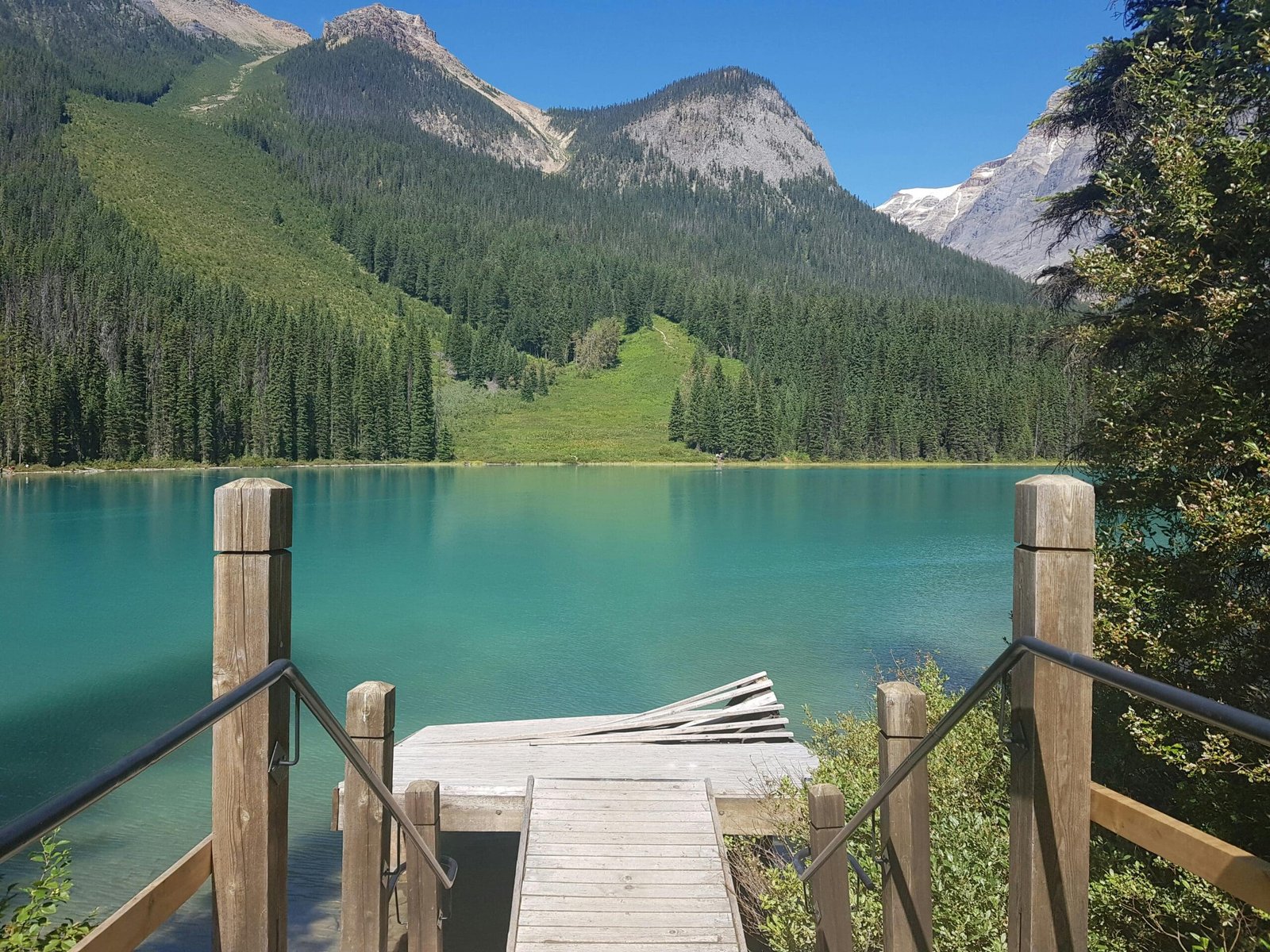
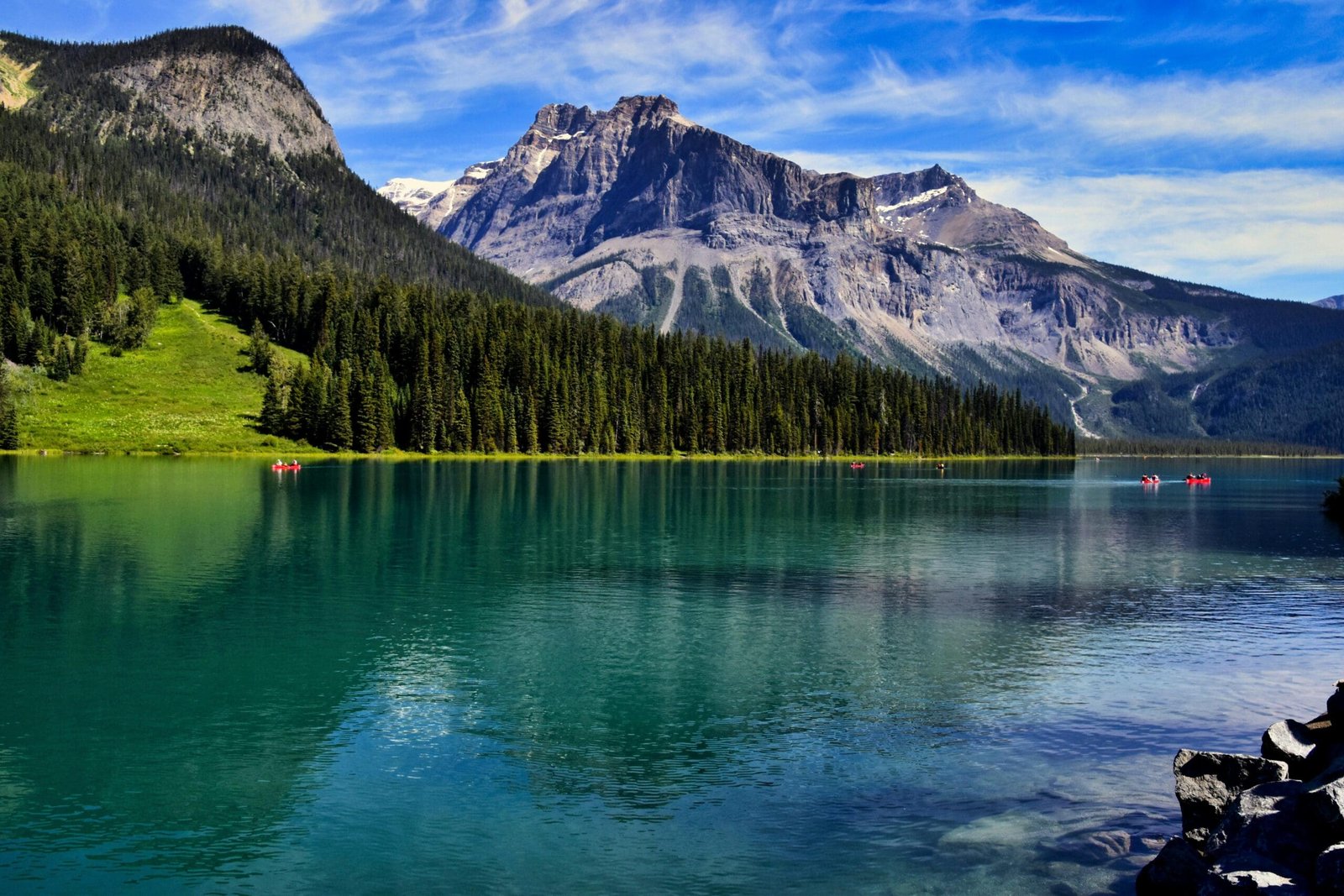
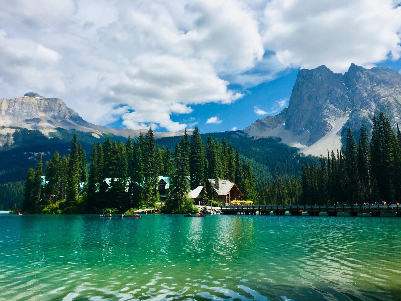
Emerald Lake is one of Yoho’s signature sights. Its colour, forested shoreline and mountain setting make it one of the most photogenic lakes in the region.
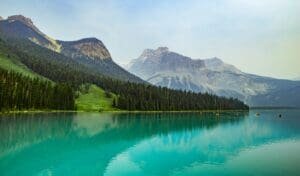
Compared with Lake Louise or Moraine Lake, Emerald Lake can feel more enclosed and calm. It has a quieter mood, especially when visited outside the busiest periods.
The lake is ideal for a relaxed walk, photos and a pause before entering the busier Banff area. It is a strong reminder that famous scenery is not limited to the most famous names.
Natural Bridge 
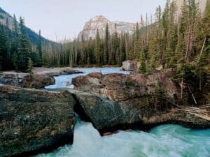
Natural Bridge is a compact but meaningful stop in Yoho. The Kicking Horse River has carved through rock, creating a natural stone formation and a dramatic river scene.
This stop adds geological interest to the route. It shows how water shapes mountain landscapes over time. It is also easy to understand quickly, making it useful on a multi-stop scenic route.
Takakkaw Falls
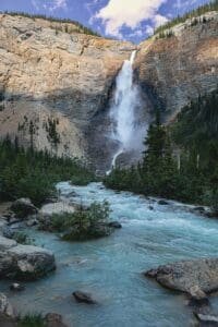
Takakkaw Falls is one of Yoho’s most impressive waterfalls when the access road is open. It is tall, dramatic and surrounded by mountain scenery.
Because access is seasonal, it should not be assumed as a year-round stop. But when conditions allow, Takakkaw Falls adds one of the strongest waterfall experiences in the Rockies portion of the loop.
Banff National Park: The Classic Rockies Centrepiece
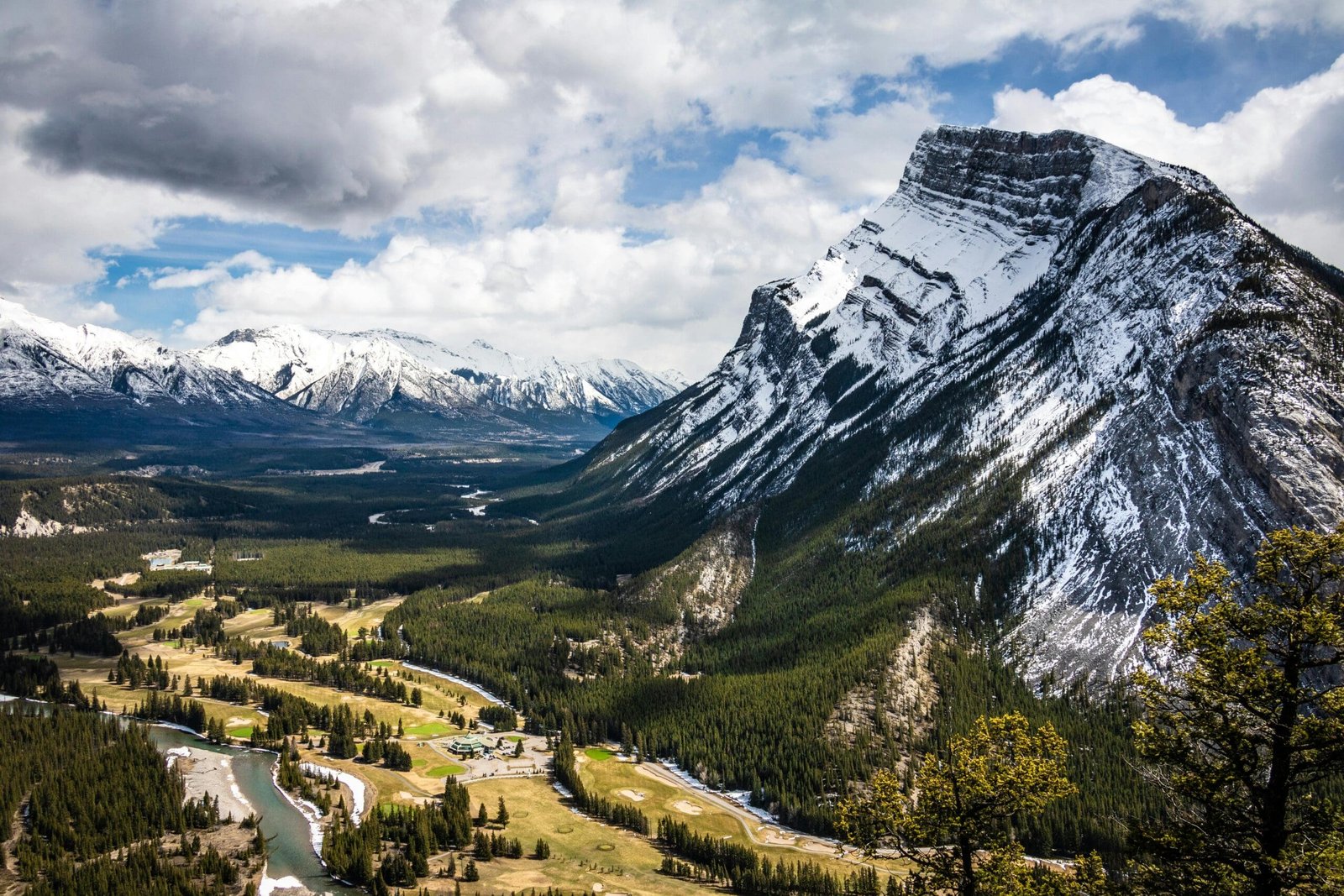
Banff National Park is often the emotional centre of a Vancouver Rockies loop. It is one of Canada’s most famous national parks and includes mountain lakes, viewpoints, wildlife habitat, hiking areas, waterfalls and the town of Banff.
Banff is popular for good reason. It gives visitors the classic Canadian Rockies scenery they often imagine before the trip: turquoise water, steep peaks, alpine forests and dramatic valleys.
But Banff also requires realistic planning. It can be busy, especially in summer. Parking, shuttle access, accommodation and popular viewpoints all need careful timing.
Banff Town
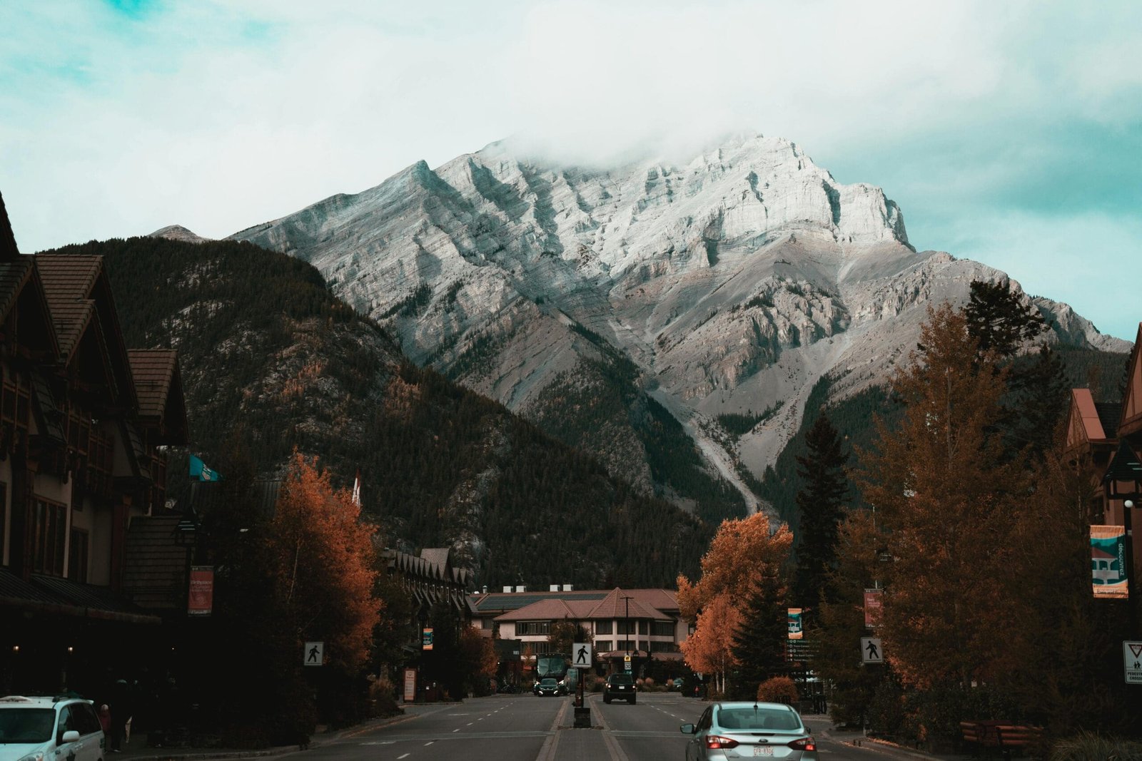
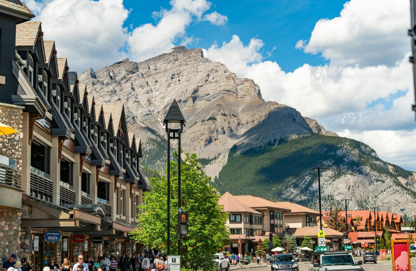
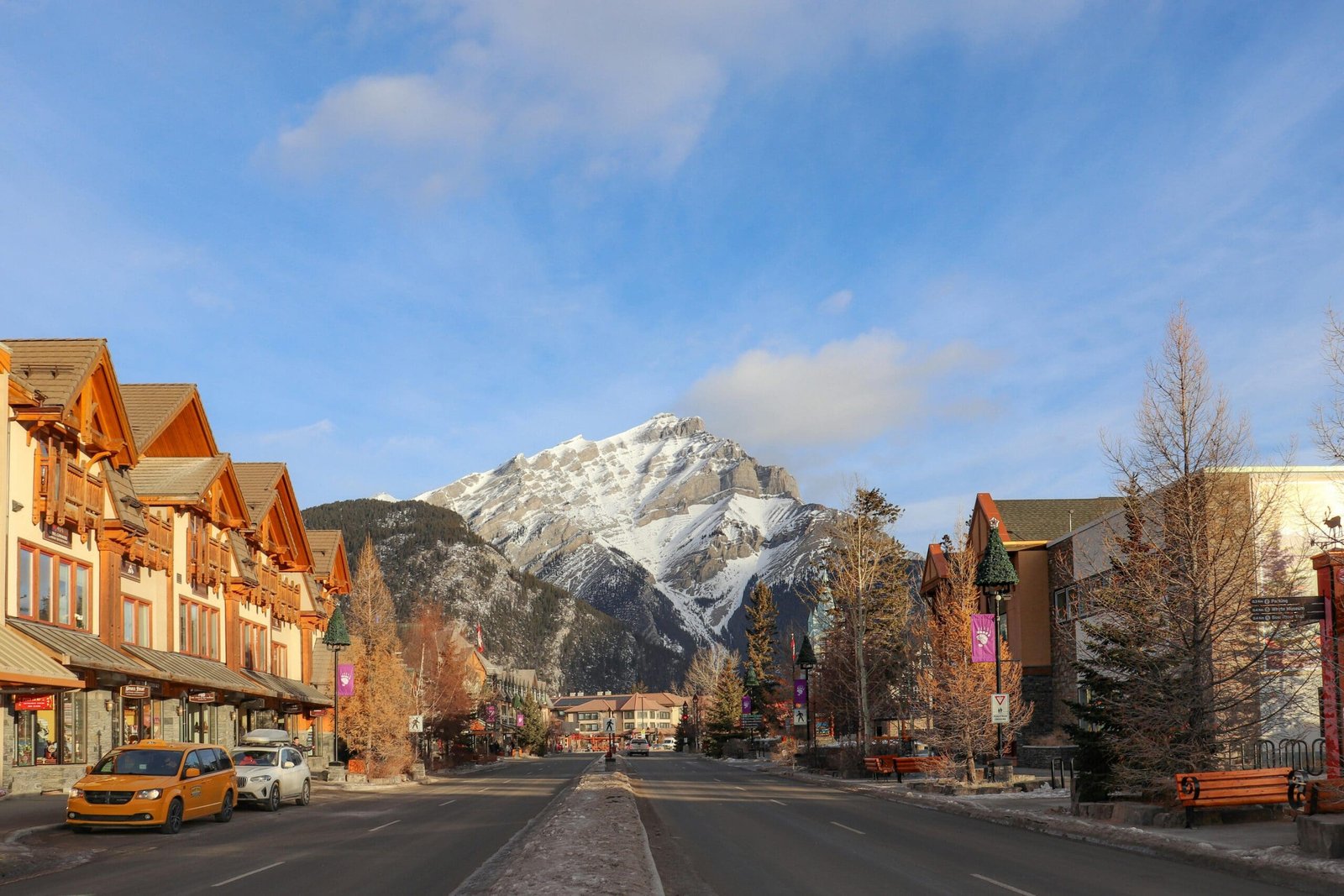
Banff town is useful because it combines mountain scenery with restaurants, hotels, cafés, shops and services. It is more developed than many other places on the loop, which can be helpful after long driving days.
The town itself is also scenic. Walking through Banff gives travellers a sense of being surrounded by peaks, even when they are not actively hiking or sightseeing.
For a loop route, Banff works well as a base for nearby lakes, viewpoints and optional activities.
Lake Louise
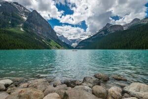
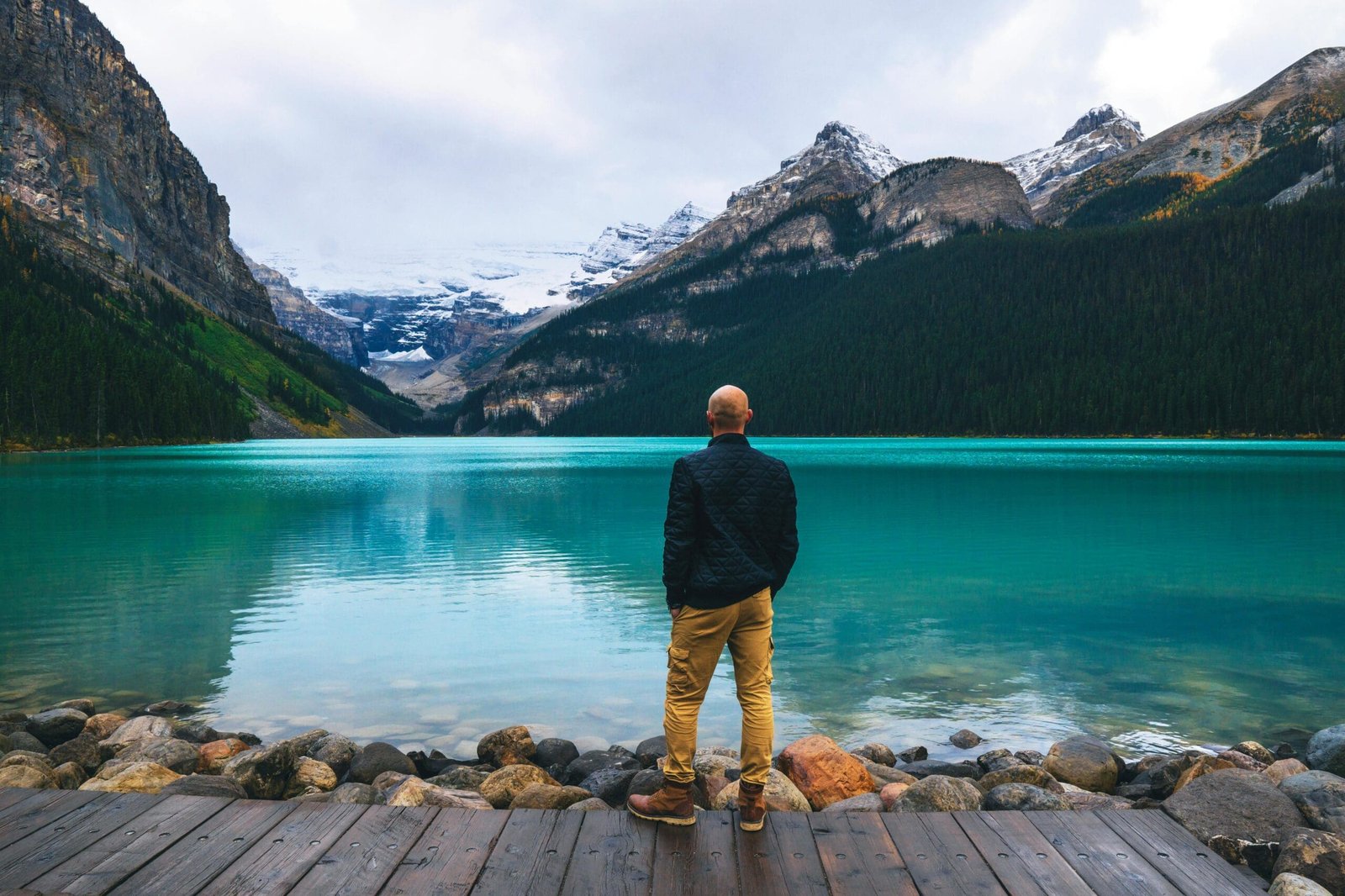
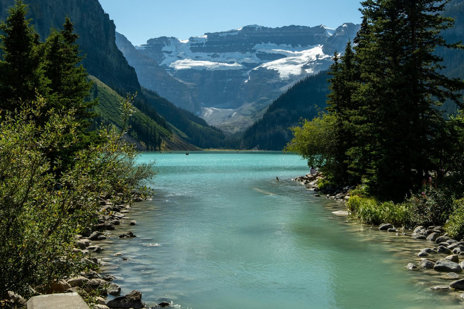
Lake Louise is one of the most iconic places in Canada. The turquoise lake, mountain backdrop and view toward Victoria Glacier make it instantly recognizable.
The lake is easy to appreciate visually, but not always easy to access casually. It is extremely popular, and visitors should expect planning around parking, shuttles, crowds and season.
Lake Louise is best treated as a major experience, not a five-minute stop. Even a simple lakeshore walk can be memorable if time is allowed.
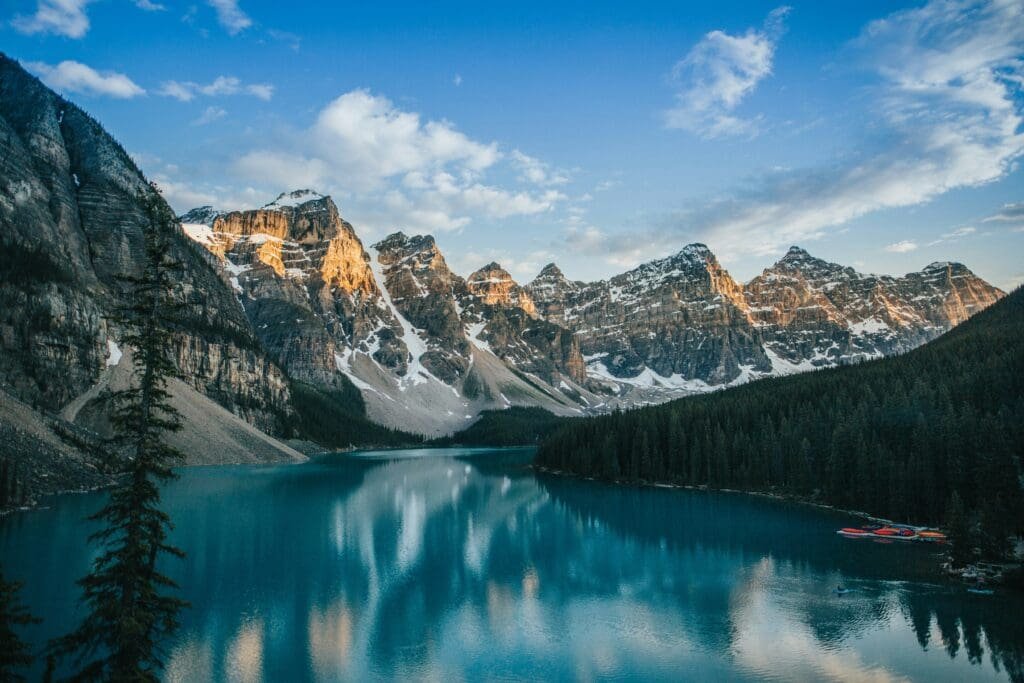
Moraine Lake
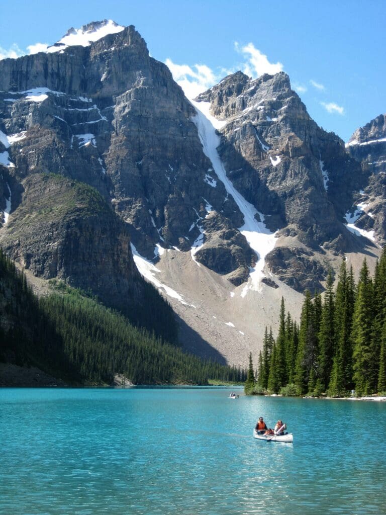
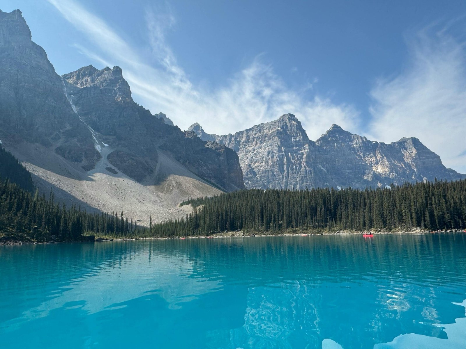
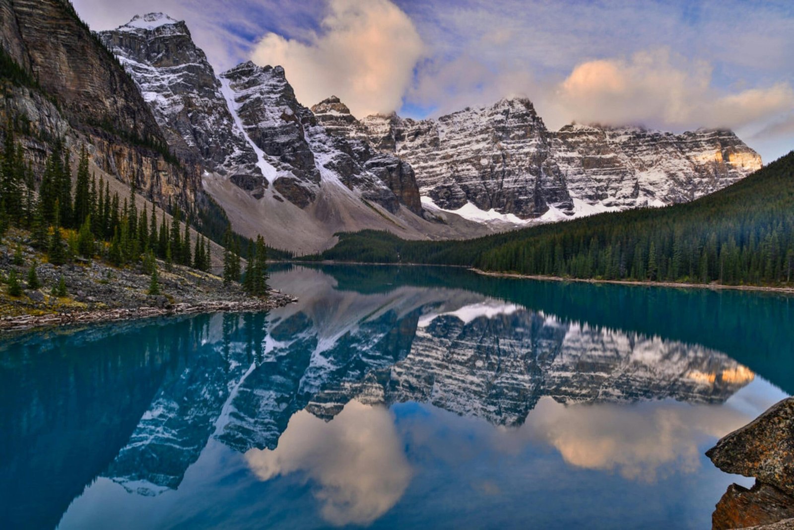
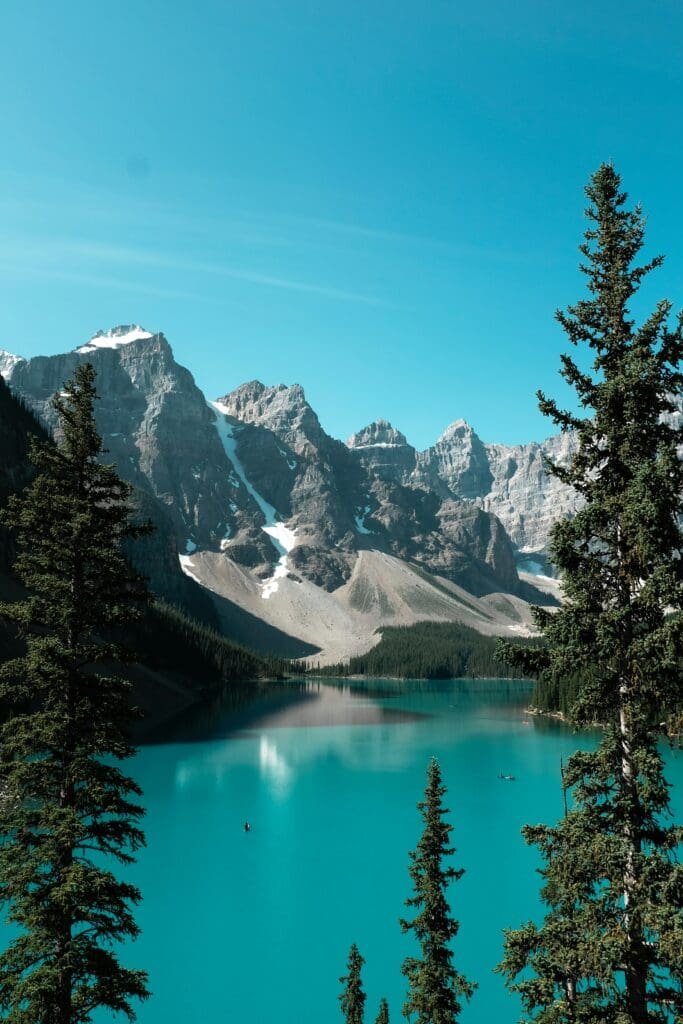
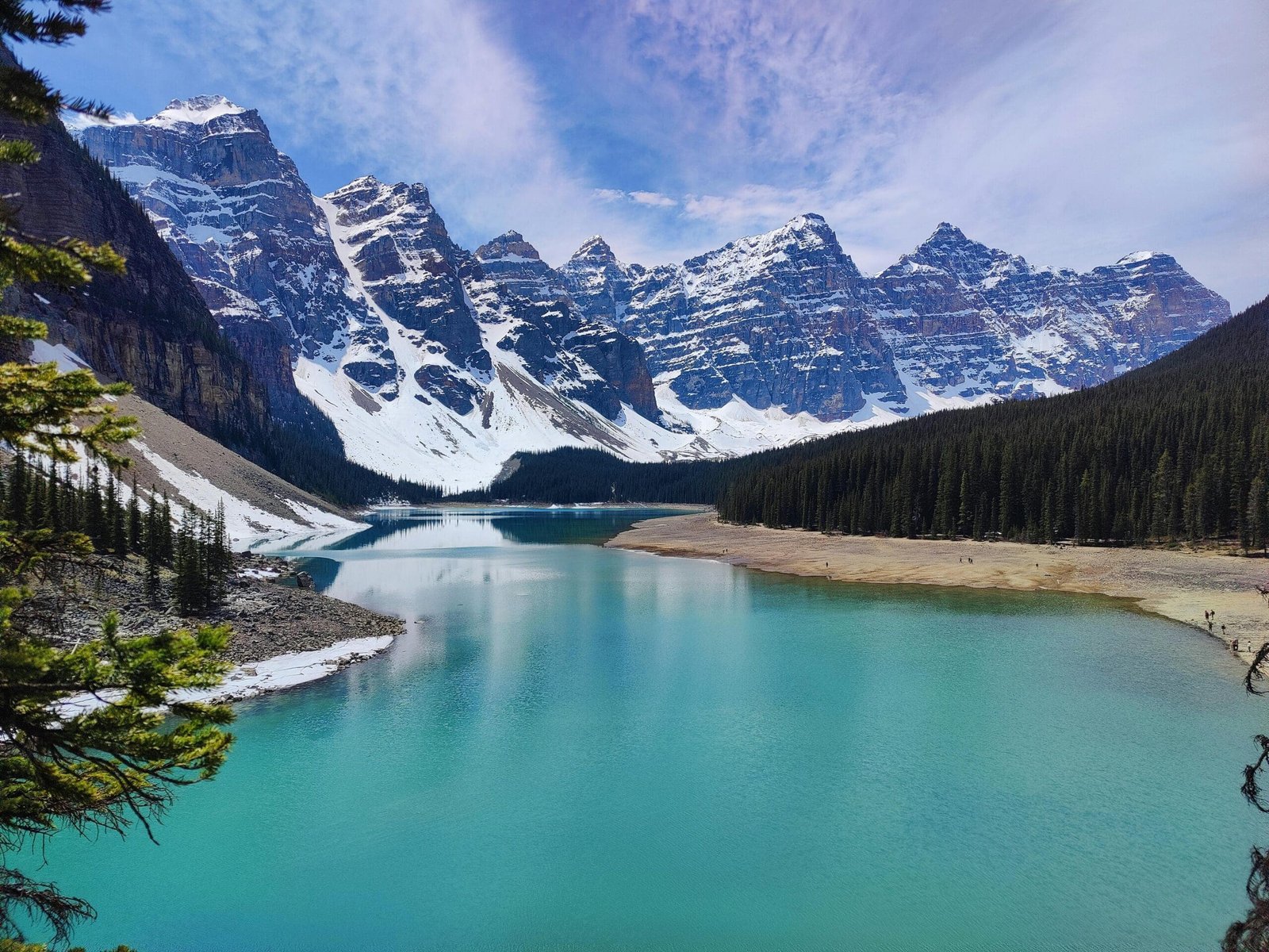
Moraine Lake is one of the most famous sights in the Canadian Rockies. Located in the Valley of the Ten Peaks, it is known for its vivid colour and dramatic mountain setting.
It is also highly seasonal and restricted. Travellers should not assume they can drive there independently. Access rules, shuttle systems and opening dates must be checked before planning around it.
Moraine Lake is absolutely worth seeing when access is available, but it should be treated as a seasonal highlight. If it is not available, the route still has exceptional alternatives: Lake Louise, Emerald Lake, Bow Lake, Peyto Lake, Lake Minnewanka and Banff viewpoints.
Johnston Canyon and Bow Falls
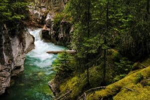
Johnston Canyon and Bow Falls offer a different kind of Banff experience. Instead of wide lake views, they focus on moving water, canyon walls and short walking routes.
Johnston Canyon is especially popular because it provides an accessible canyon walk with waterfalls and narrow rock scenery. Bow Falls, close to Banff town, is easier to include when time is limited.
These stops are useful because they add variety. A good Rockies loop should not only include lakes and viewpoints. Waterfalls and canyons make the landscape feel more dynamic.
Banff Gondola and Viewpoints
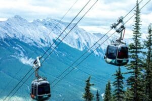
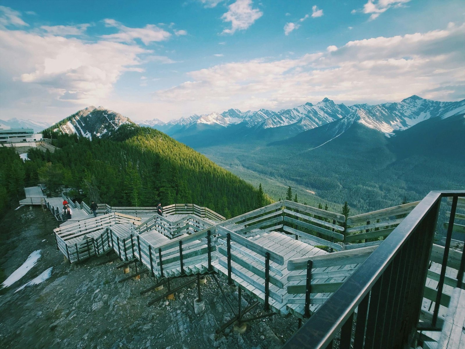
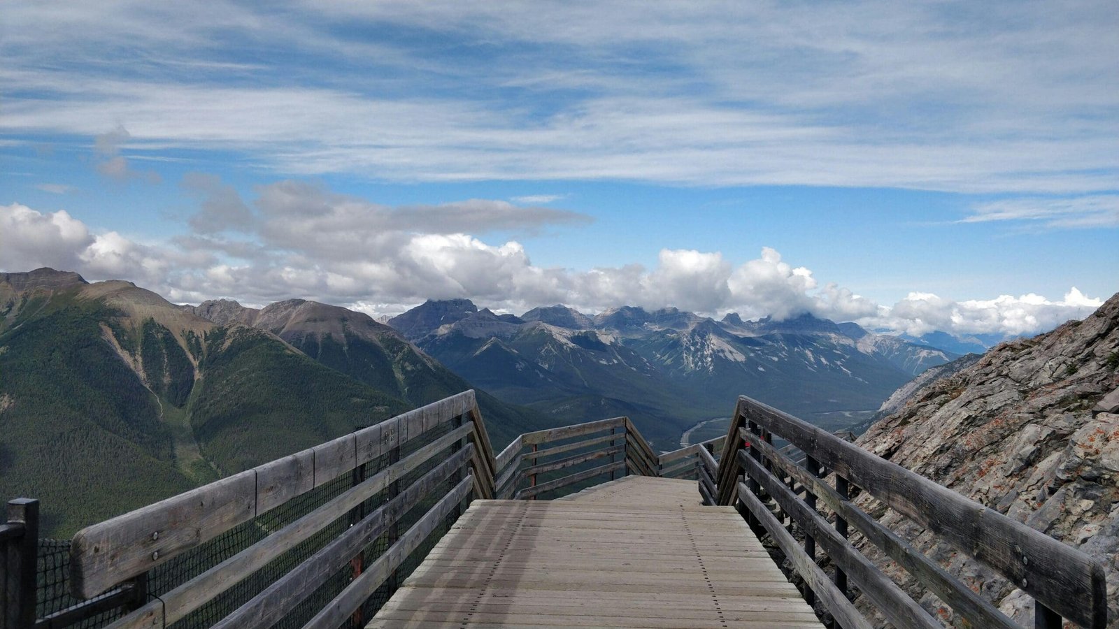
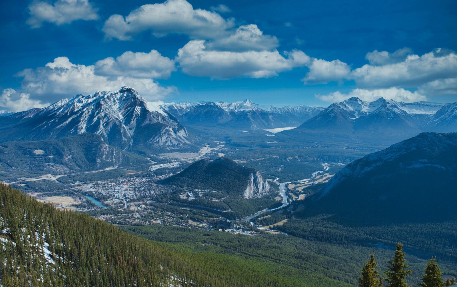
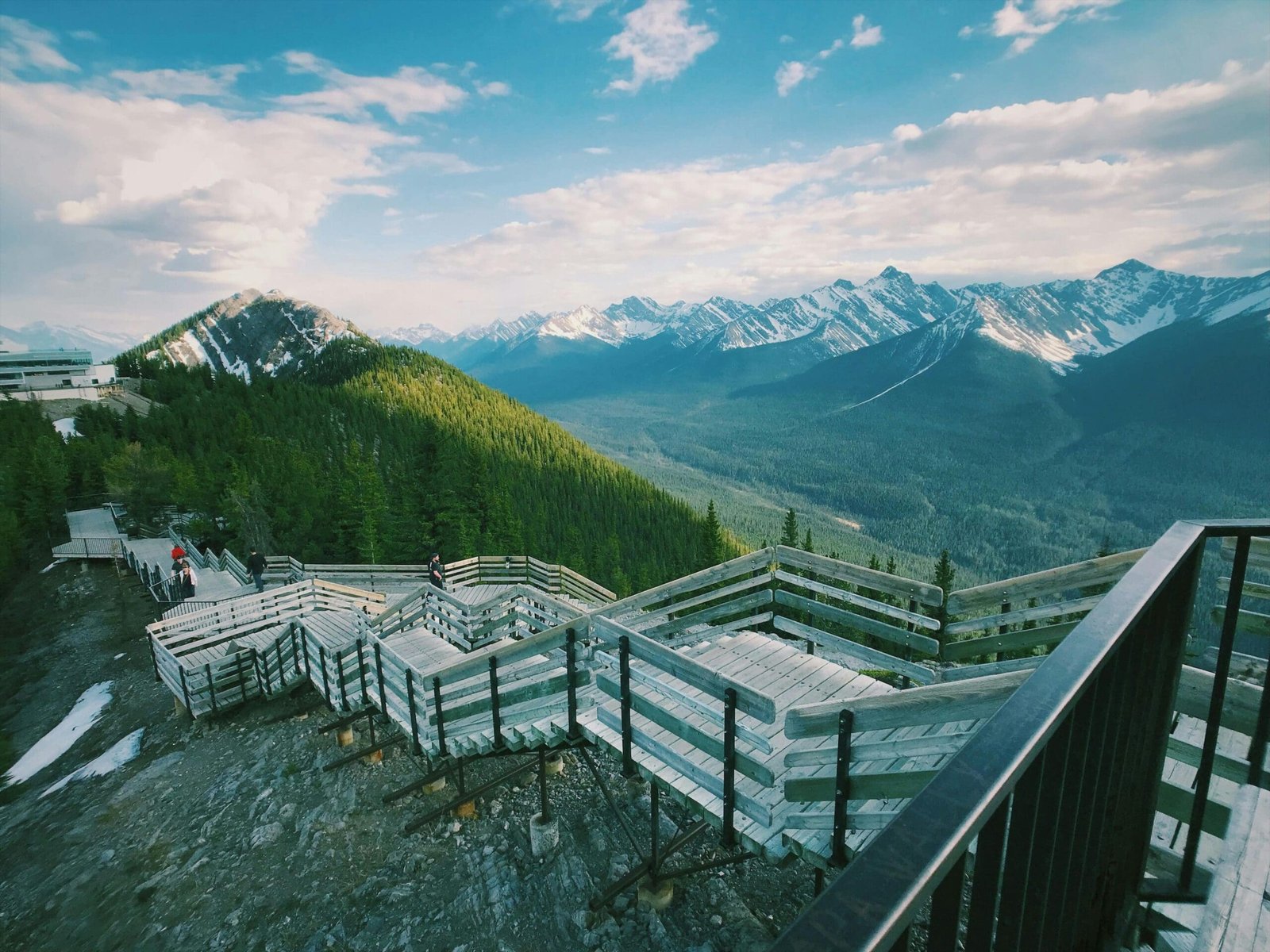
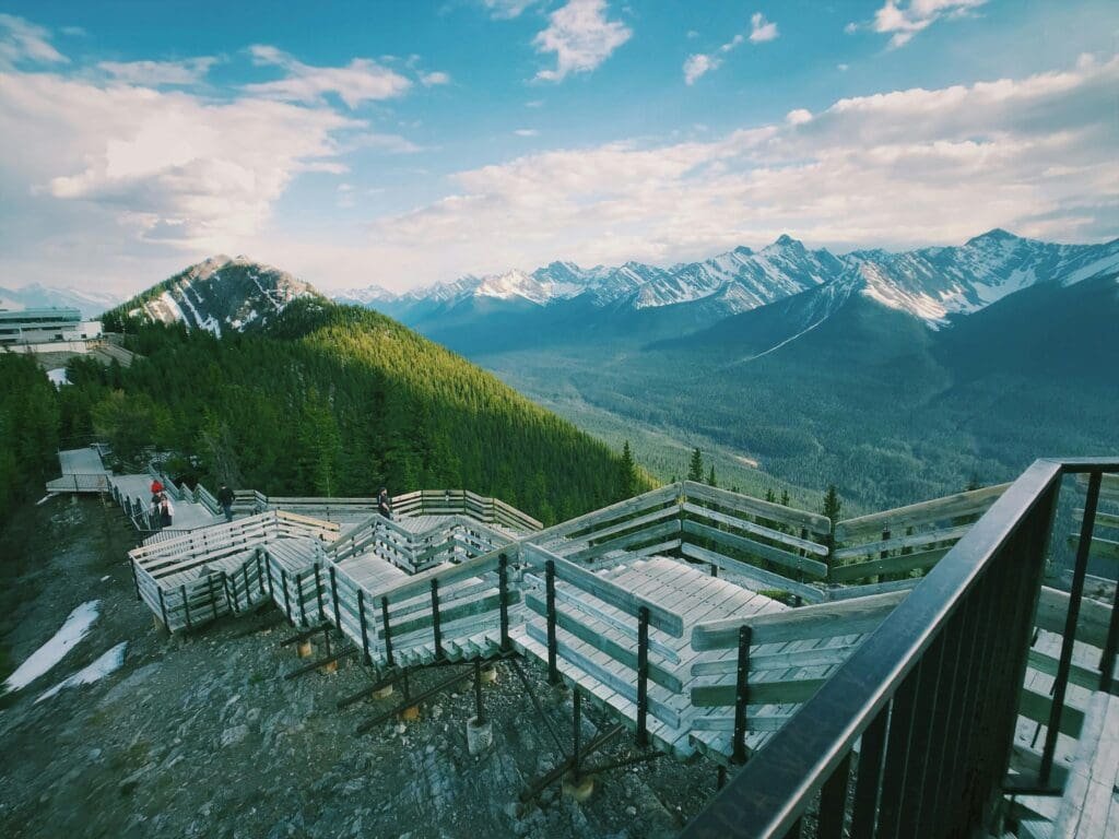
The Banff Gondola is an optional activity that can add a panoramic view over the Bow Valley and surrounding peaks. It is not essential for every traveller, but it can be valuable for those who want a high viewpoint without a long hike.
Banff also has several accessible viewpoints and short scenic stops. These can be useful if weather, time or mobility makes longer hikes unrealistic.
The key is choosing the right balance. Banff has enough attractions to fill several days, so a loop itinerary should not try to force everything into one short window.
Icefields Parkway: Lakes, Glaciers and High Mountain Roads
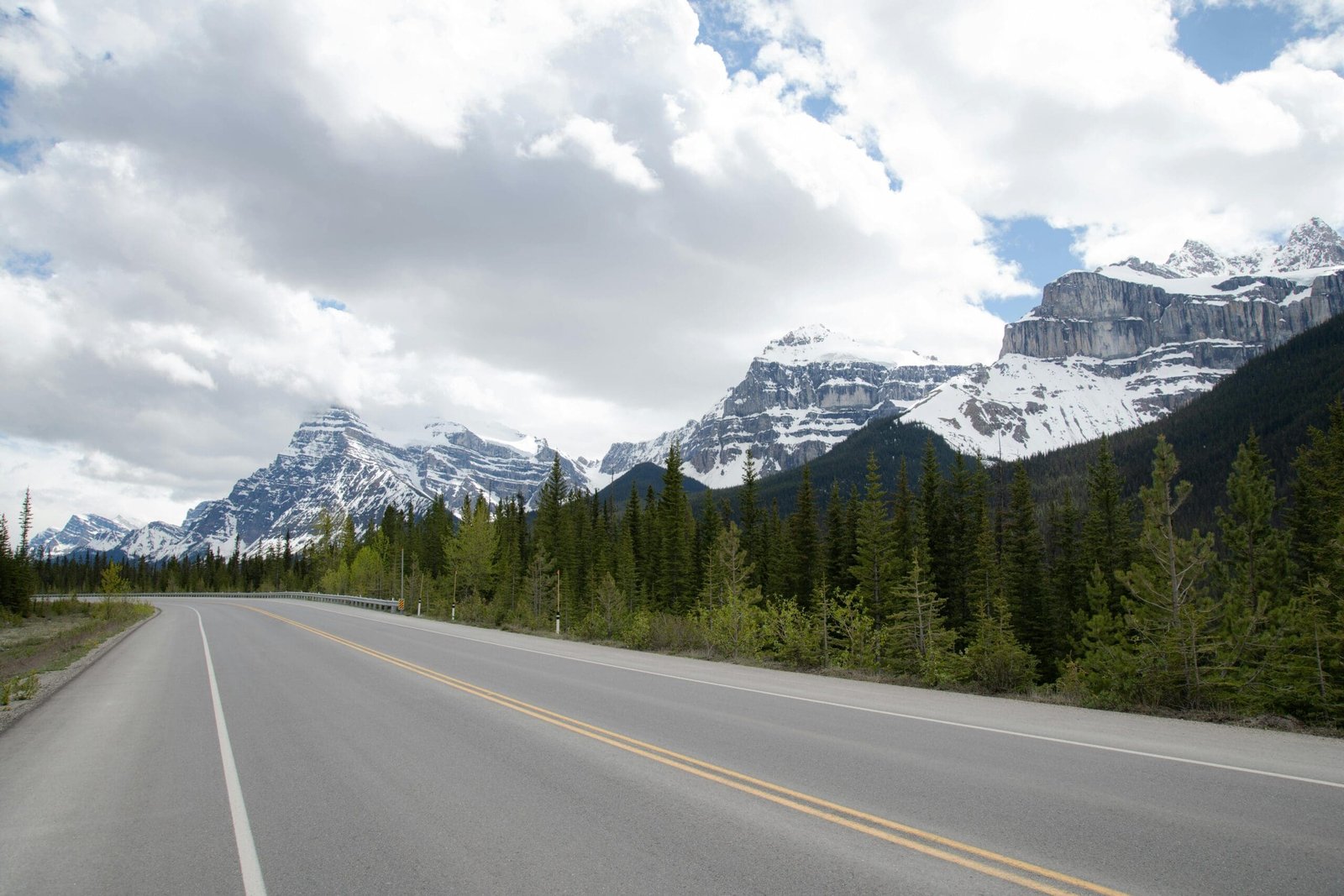
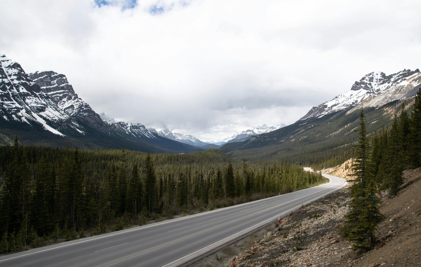
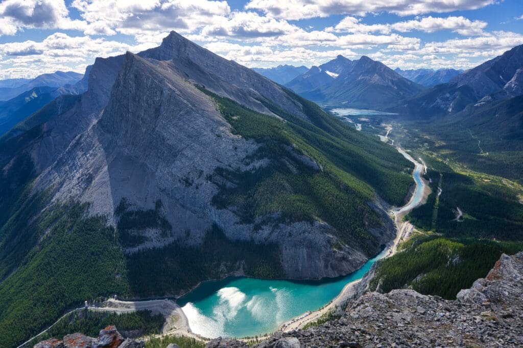
The Icefields Parkway is one of the most important scenic drives in the Canadian Rockies. It connects the Lake Louise area with Jasper through Banff and Jasper National Parks.
The Parkway is not famous because of one single stop. It is famous because of the sequence: lakes, glaciers, rivers, valleys, peaks and viewpoints appearing again and again along the road.
This is one of the strongest landscape experiences on a Vancouver Rockies loop. It deserves enough time, because rushing the Parkway means missing the feeling that makes it special.
Bow Lake
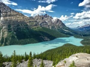
Bow Lake is one of the classic Icefields Parkway stops. It offers broad mountain views, glacier-fed water and a calm, open feeling.
The lake is valuable because it feels spacious. It gives visitors time to pause and see the Parkway as a landscape, not just a road.
Bow Lake is especially beautiful in clear weather, but even on moodier days it can feel atmospheric and powerful.
Peyto Lake
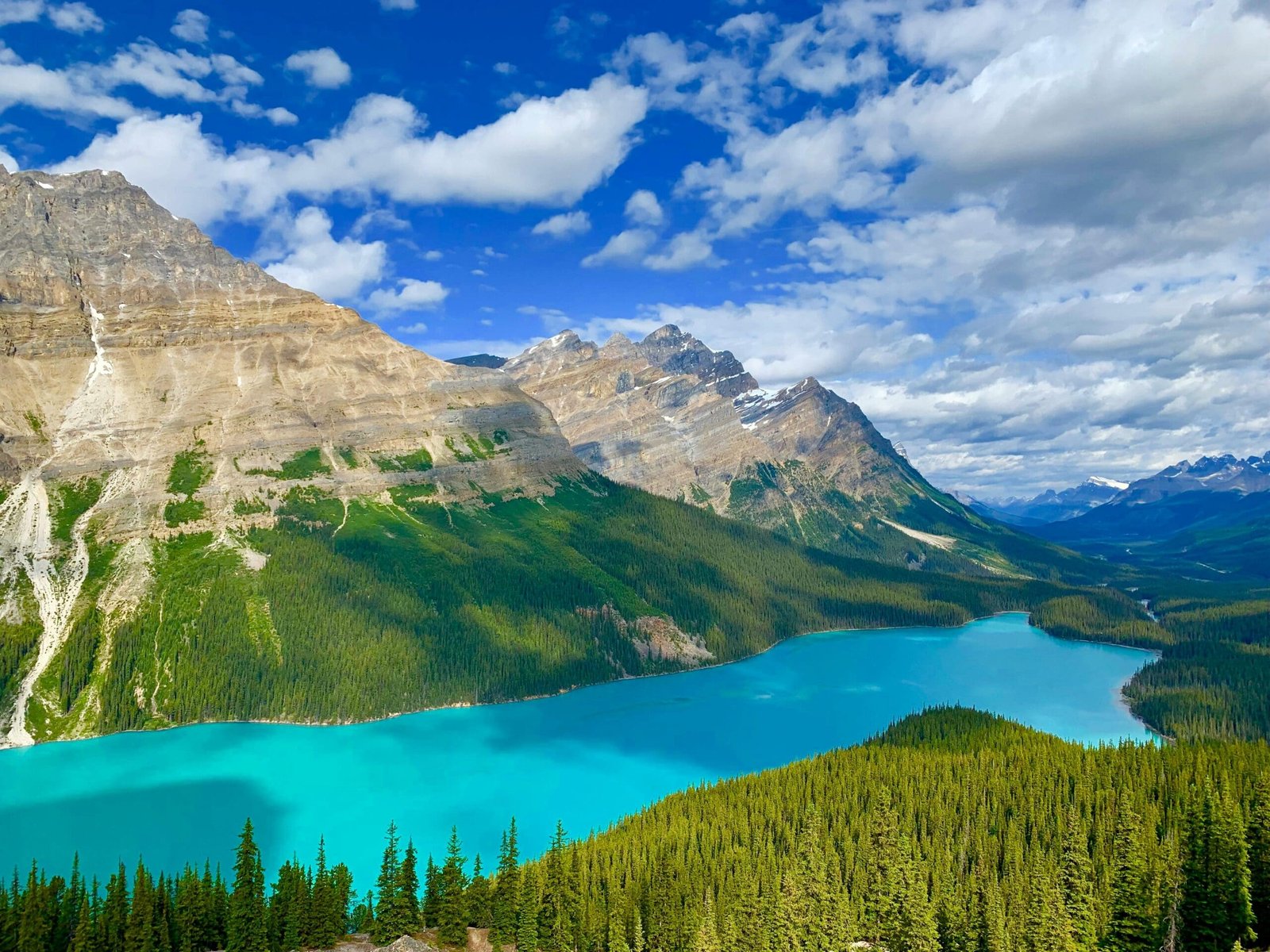
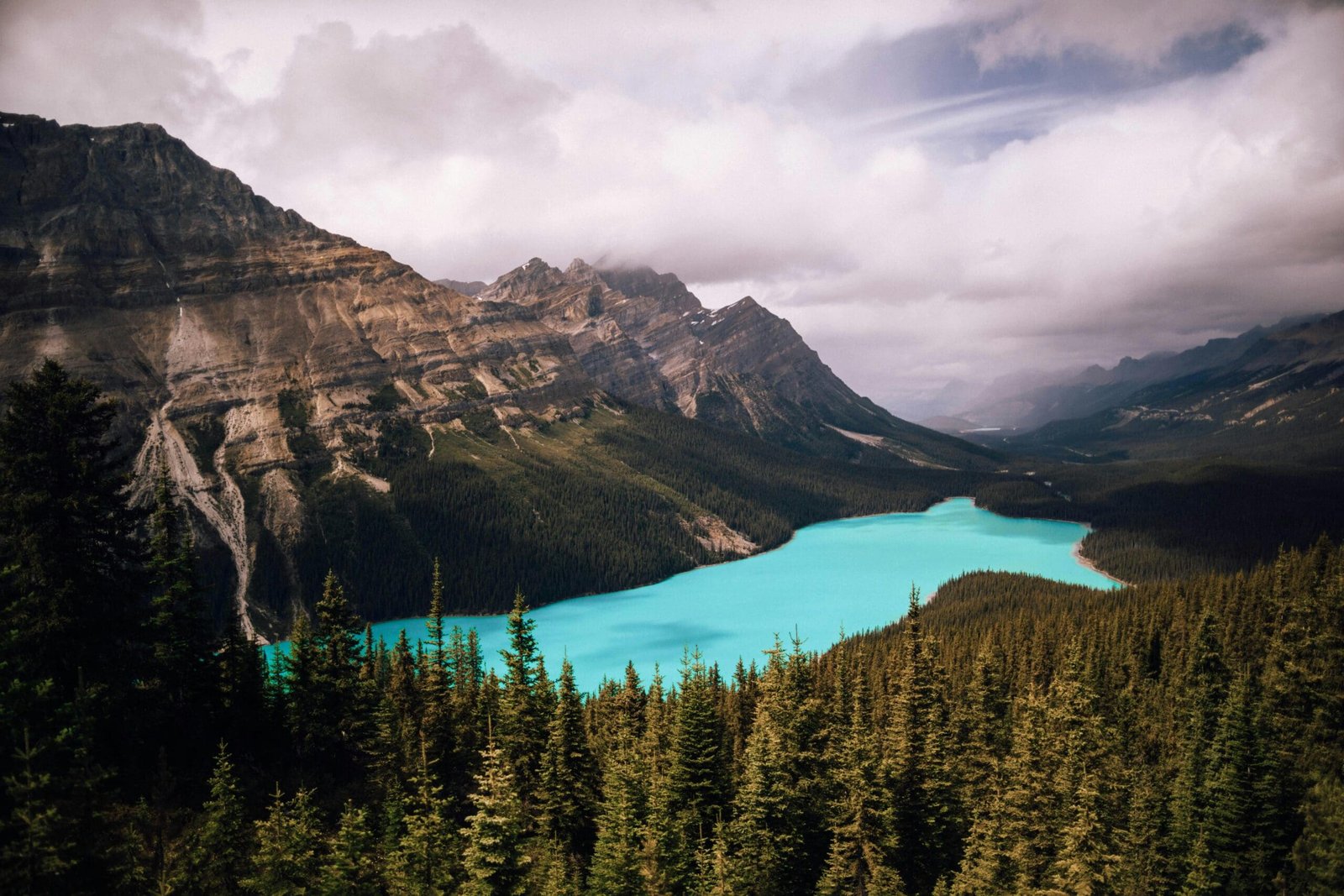
Peyto Lake is known for its intense blue colour and high viewpoint. It is one of the most recognizable scenes along the Icefields Parkway.
The viewpoint can be busy, but the lake’s shape and colour make it a memorable stop. Weather and visibility matter, so flexibility is helpful.
Like Lake Louise and Moraine Lake, Peyto Lake is best appreciated when not rushed. Time for parking, walking and waiting for a clear view should be built into the day.
Crowfoot Glacier
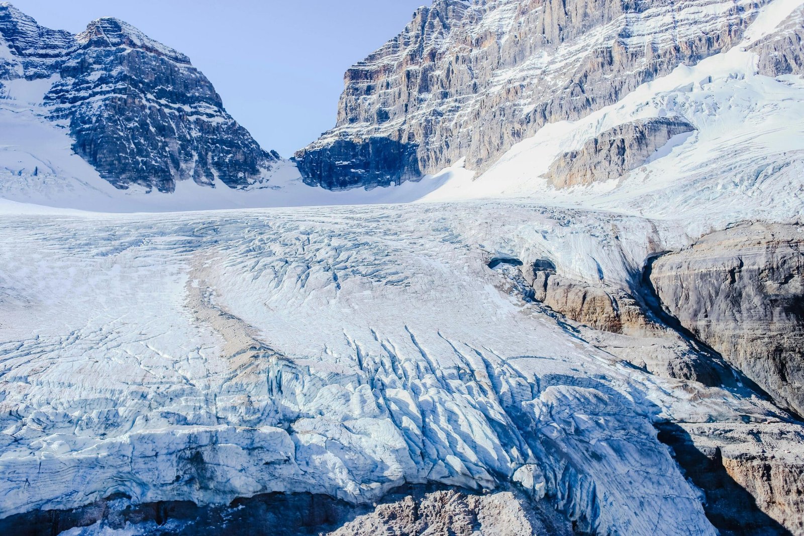
Crowfoot Glacier is often seen from the road area along the Parkway. It adds glacier context before travellers reach the Columbia Icefield.
This kind of stop helps visitors understand the Parkway as a glacier landscape. It is not only lakes and mountains; it is a corridor shaped by ice, water and time.
Columbia Icefield and Athabasca Glacier
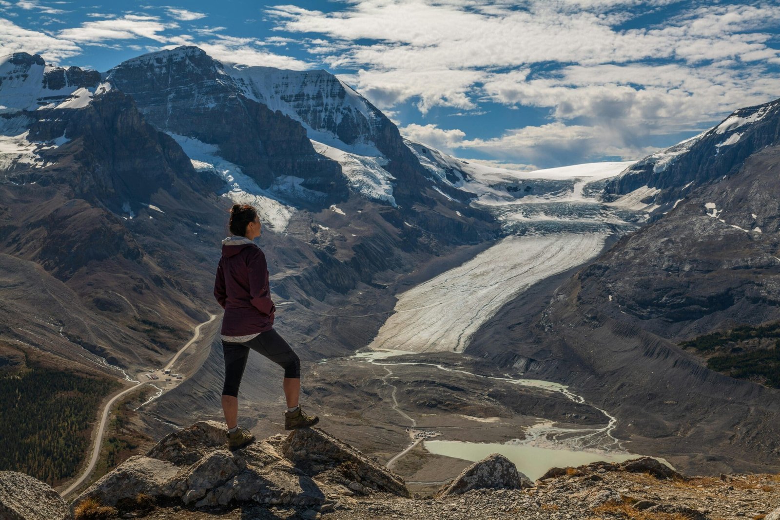
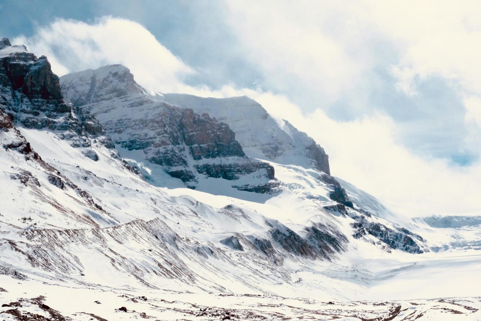
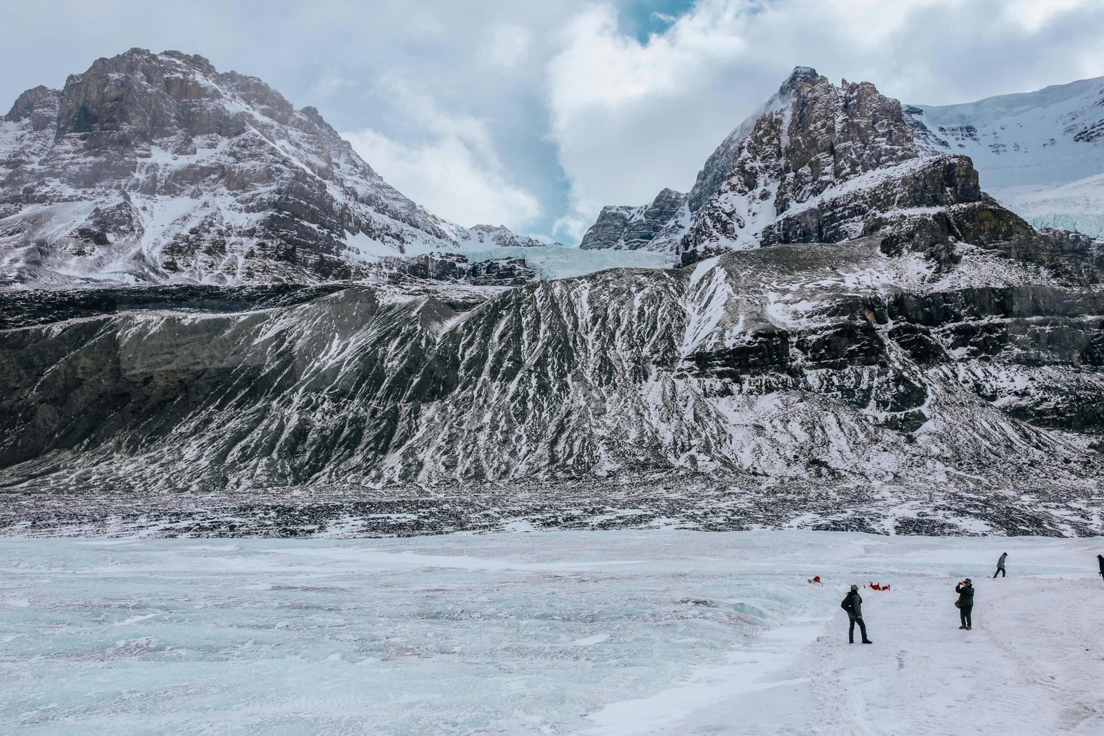
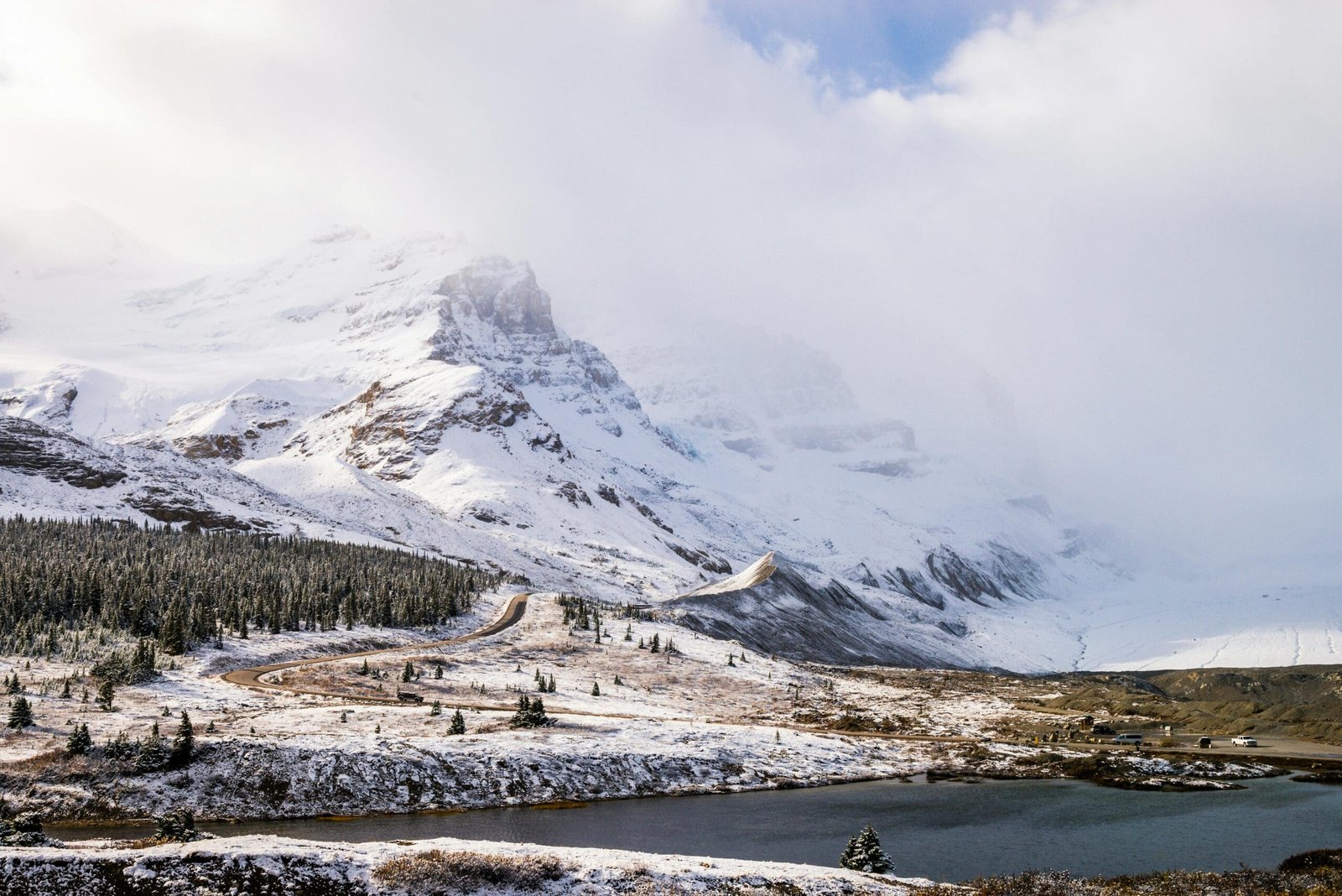
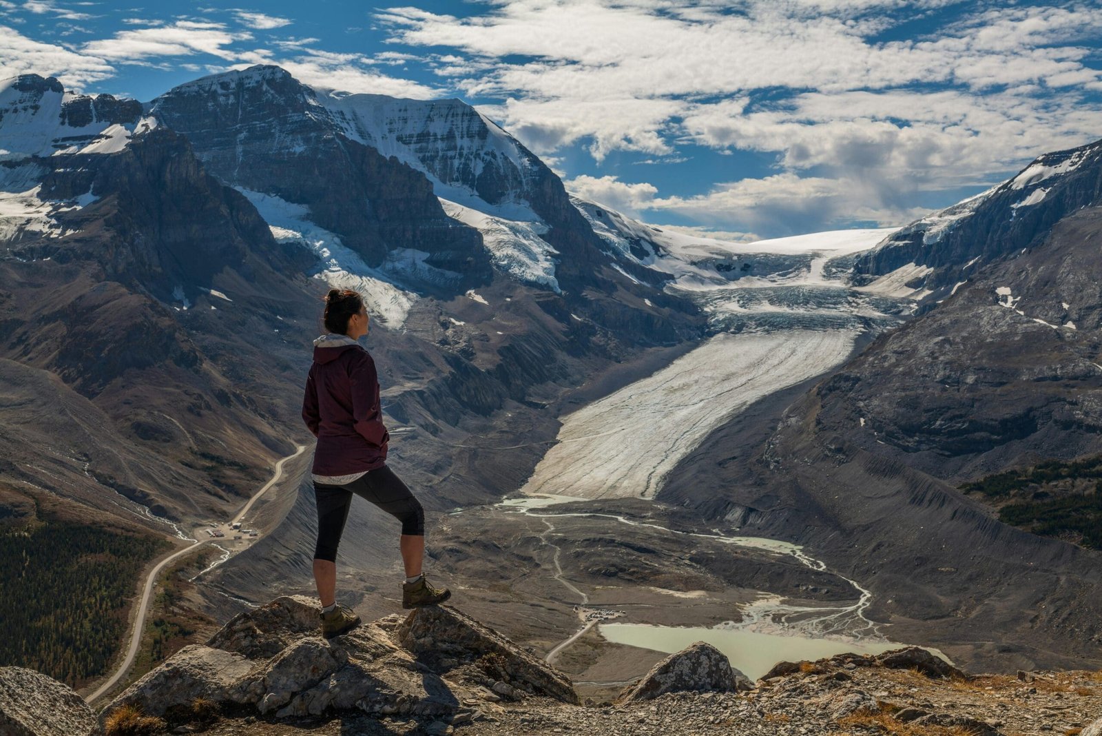
The Columbia Icefield is one of the most powerful sights on the route. The Athabasca Glacier is one of its most accessible glacier areas, and the surrounding landscape feels colder, higher and more exposed than many other parts of the trip.
For many visitors, the Columbia Icefield is one of the first places where they truly feel close to a glacier landscape. The scale is impressive, but the experience is also sobering because glaciers are visibly changing.
Optional activities such as glacier vehicles or the Skywalk may be available seasonally, but they require planning and separate admission. Even without an optional paid experience, the area is one of the most important natural highlights on the loop.
Jasper National Park: A Quieter, Wilder Rockies Experience
Jasper National Park offers a different atmosphere from Banff. It is larger, less concentrated and often feels quieter and wilder.
On a Vancouver Rockies loop, Jasper adds important balance. Banff gives the classic, highly visited Rockies experience. Jasper gives a more spacious mountain landscape with waterfalls, valleys, wildlife habitat and access to the northern part of the Icefields Parkway.
Because Jasper was affected by the 2024 wildfire, travellers should check current Parks Canada information before planning specific stops, trails or services. Access and conditions can change as recovery work continues.
Athabasca Falls
Athabasca Falls is one of the strongest waterfall stops in Jasper National Park. It is powerful, accessible and shaped by the force of the Athabasca River moving through rock.
The attraction is not only the height of the falls. It is the water volume, carved rock and canyon-like setting that make it memorable.
For travellers continuing from Banff toward Jasper, Athabasca Falls is a natural stop because it adds energy and movement after glacier and lake viewpoints.
Sunwapta Falls
Sunwapta Falls is another excellent waterfall stop along the Icefields Parkway corridor. It is known for its dramatic setting where water drops through a narrow gorge.
This stop pairs well with Athabasca Falls because each waterfall has a different shape and feeling. Together, they help show the power of water in Jasper’s mountain landscape.
Mount Robson: The Highest Peak in the Canadian Rockies
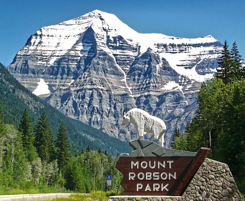
After Jasper, the route can cross back into British Columbia toward Mount Robson Provincial Park. Mount Robson is the highest peak in the Canadian Rockies and one of the most impressive mountain sights on the route when weather allows a clear view.
The mountain has a commanding presence because of its height and prominence. Even travellers who do not hike in the park can appreciate the view from accessible areas when conditions are favourable.
Mount Robson is also a symbolic transition point. It marks the movement from Alberta’s Rockies back into British Columbia’s mountain wilderness.
Clearwater and Wells Gray Provincial Park
Wells Gray Provincial Park is one of British Columbia’s most underrated natural areas. It is famous for waterfalls, forests, volcanic landscapes, river scenery and a wilder, less commercial atmosphere than the major national parks.
Clearwater is the practical gateway community for many visitors. From there, travellers can access some of the park’s best-known waterfall stops.
Wells Gray is important on a Vancouver Rockies loop because it adds something different after Banff and Jasper. Instead of turquoise lakes and glacier viewpoints, the focus becomes waterfalls, lava-shaped landscapes and deep forest.
Helmcken Falls
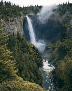
Helmcken Falls is one of Wells Gray’s most famous sights. It is a dramatic waterfall dropping into a deep canyon-like bowl, surrounded by forested scenery.
The viewpoint is relatively accessible, which makes it one of the best high-impact stops in the park. Visitors do not need a difficult hike to experience a powerful waterfall scene.
Helmcken Falls is one of the reasons Wells Gray deserves serious attention on a loop route. It can feel just as memorable as more famous Rockies stops, even though it is less internationally known.
Spahats Falls
Spahats Falls is another strong Wells Gray stop. It drops through a narrow rock opening into a deep canyon, with viewpoints over the Clearwater Valley area.
This stop is usually easier to include than more remote parts of the park and gives travellers a different waterfall shape from Helmcken Falls.
Together, Helmcken and Spahats help make Wells Gray one of the best waterfall regions on the route.
Lillooet and Gold Rush Country
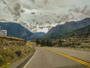
After Wells Gray, the loop can continue west through interior British Columbia toward Lillooet. This part of the route is less famous internationally, but it adds history and rugged landscape.
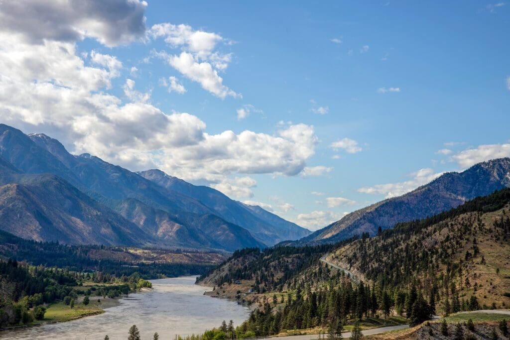
Lillooet is connected to Gold Rush history and sits in a drier, more dramatic interior setting. The surrounding landscape feels different from both the Rockies and the coast: steep, dry, open and historically important.
This section helps the loop feel more complete because it shows another side of British Columbia’s interior rather than simply returning along the same route.
Duffey Lake Road: One of B.C.’s Most Scenic Mountain Drives
Duffey Lake Road connects the Lillooet area with Pemberton and is one of the most scenic mountain drives in British Columbia. It includes steep grades, mountain views, lakes, forests and dramatic transitions between dry interior landscapes and coastal mountain scenery.
This road is beautiful, but it should be treated with respect. Conditions can vary, and mountain driving requires attention, especially in poor weather or winter.
For travellers who enjoy scenic drives, Duffey Lake Road is one of the strongest parts of the return route. It feels less polished than the Sea to Sky Highway but very rewarding.
Pemberton: A Quiet Mountain Valley Before Whistler
Pemberton is a peaceful mountain community north of Whistler. It sits in a wide valley surrounded by peaks and farmland, giving it a calmer atmosphere than the busier resort village to the south.
For a loop route, Pemberton works well as a transition stop between interior B.C. and the Coast Mountains. It gives travellers a chance to slow down before entering Whistler and the Sea to Sky corridor.
The scenery around Pemberton is especially appealing for travellers who enjoy open valley views, mountains and a quieter pace.
Whistler: Alpine Village, Gondolas and Resort Scenery
Whistler is one of the most famous mountain destinations in North America. It adds a different kind of mountain experience to the loop: resort village atmosphere, gondolas, restaurants, shops, pedestrian streets and easy access to alpine views.
After several days of national parks, waterfalls and scenic roads, Whistler feels more developed and social. It is a place to walk, eat, shop, ride gondolas, take photos and enjoy a polished alpine resort setting.
Whistler works well near the end of the loop because it creates a strong final mountain highlight before returning to Vancouver.
Whistler Village
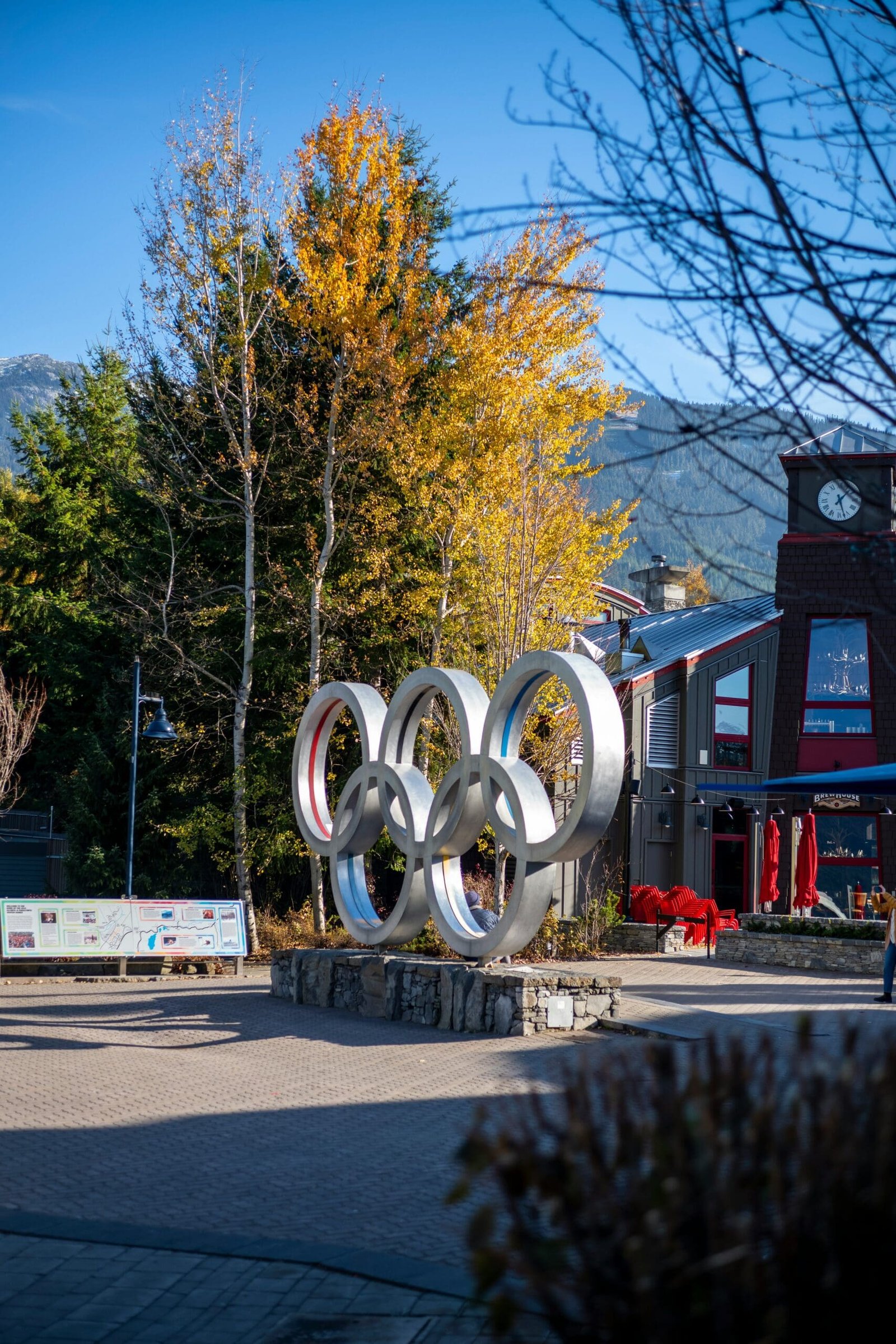
Whistler Village is compact, walkable and designed around visitors. The Village Stroll, Olympic Plaza, restaurants, cafés, patios and shops make it easy to enjoy without needing a car.
For travellers who have spent days on the road, Whistler Village can feel like a comfortable place to pause. It is scenic but easy. You can enjoy mountain views, food and walking without needing another long sightseeing push.
PEAK 2 PEAK Gondola
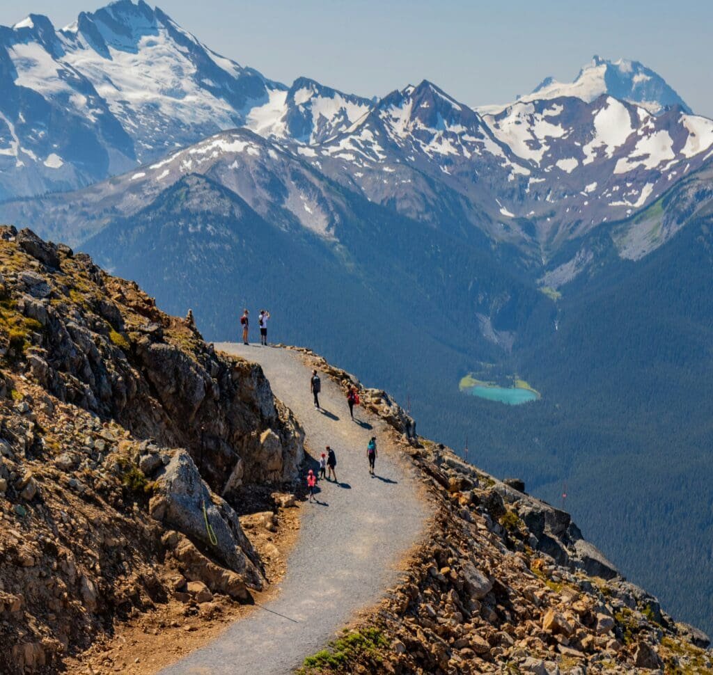
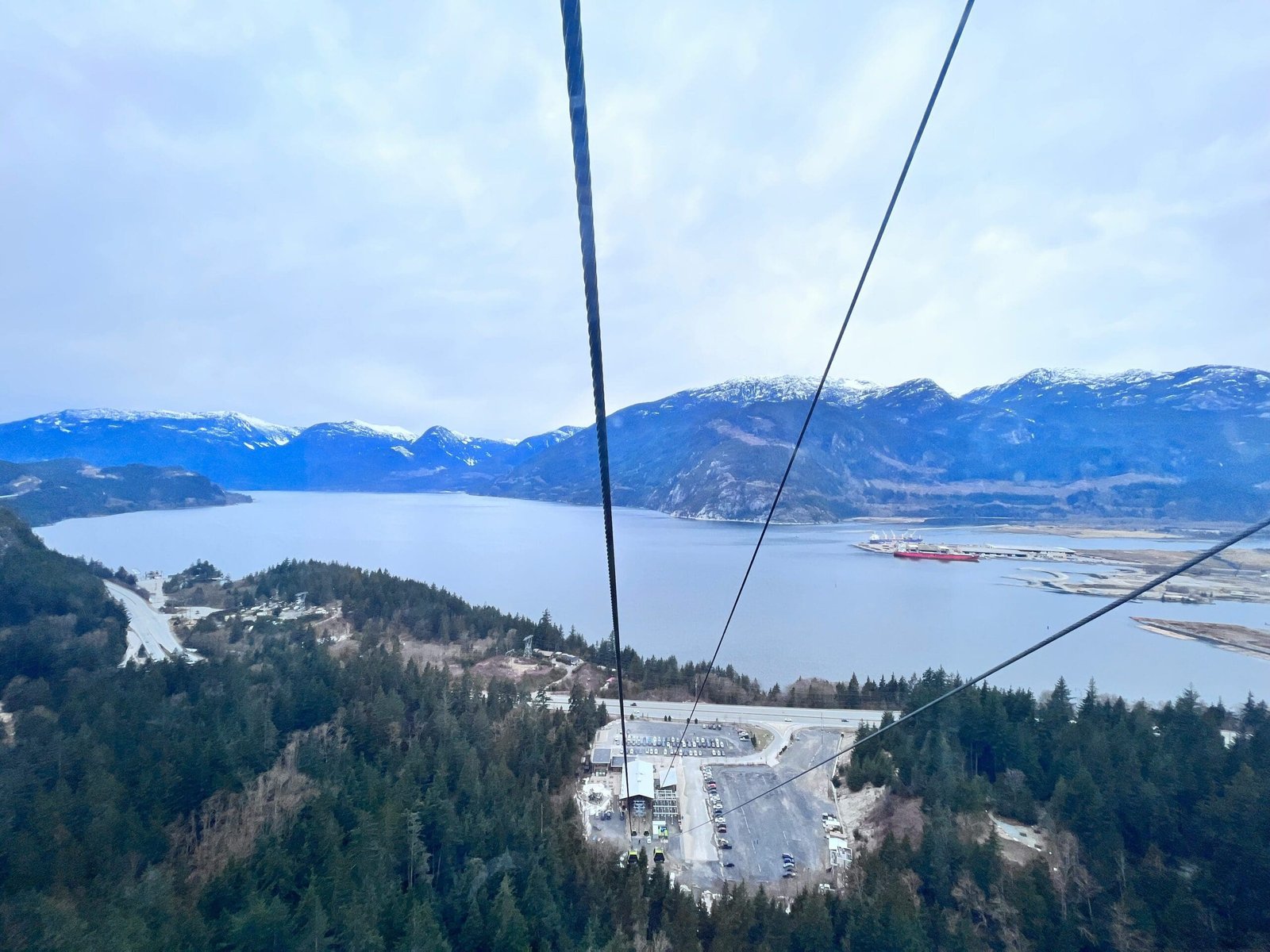
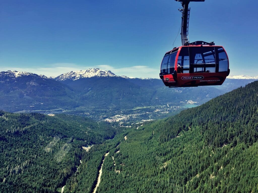
The PEAK 2 PEAK Gondola connects Whistler Mountain and Blackcomb Mountain. It is one of Whistler’s signature experiences and offers wide alpine views when weather and operating schedules allow.
This attraction is different from simply walking through the village. It gives visitors a higher perspective on the Coast Mountains and helps make Whistler feel like more than a resort stop.
Because gondola access depends on season, schedule and weather, it should be planned rather than assumed.
Sea to Sky Highway: The Scenic Finale Back to Vancouver
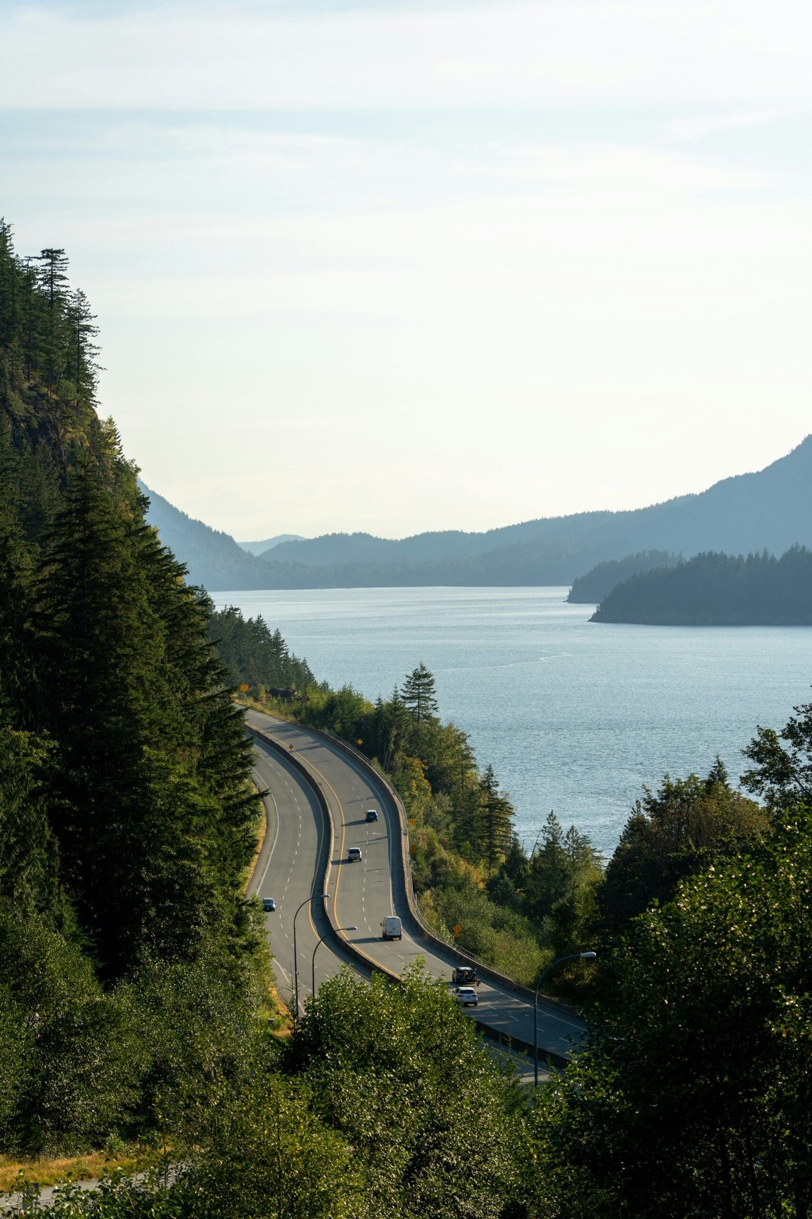
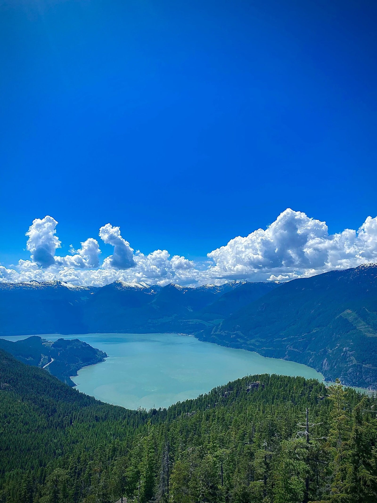
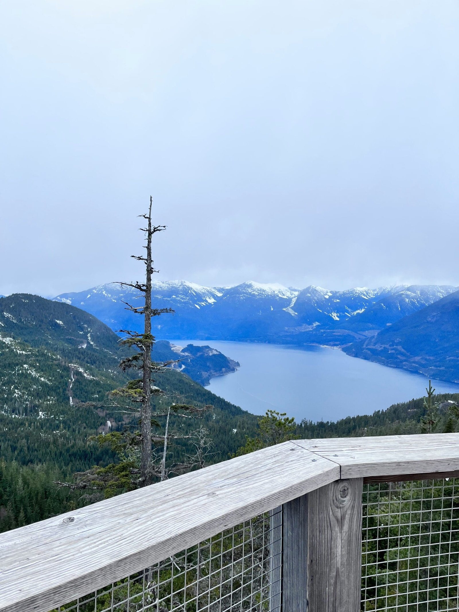
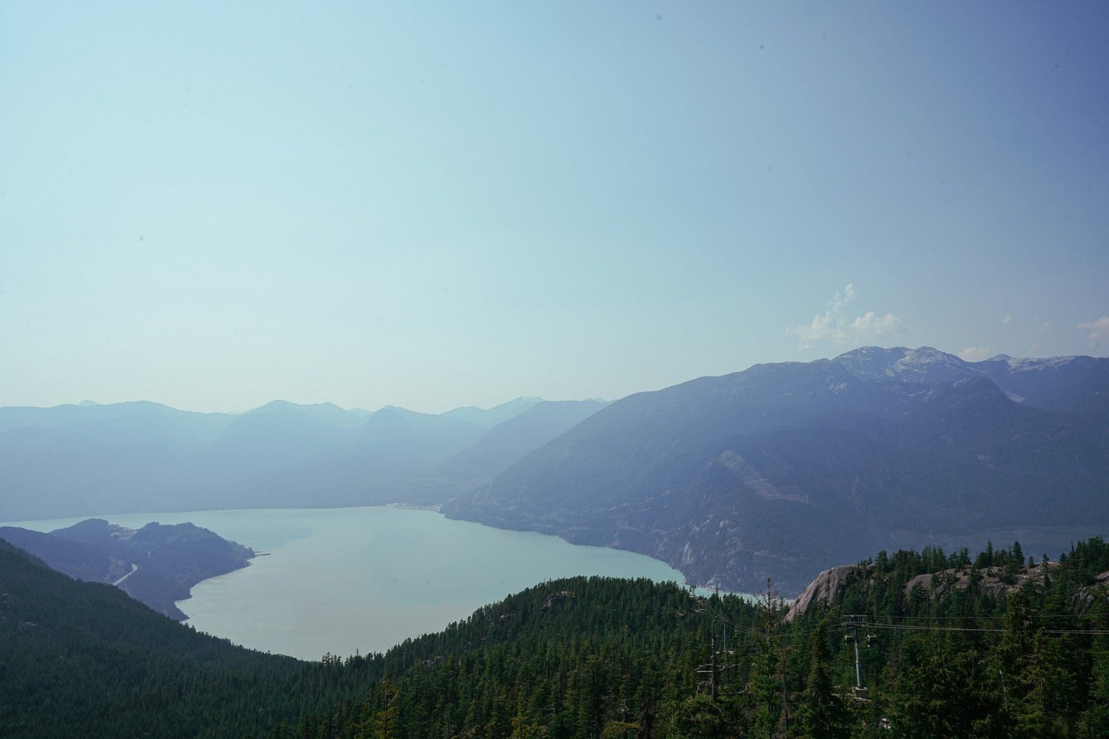
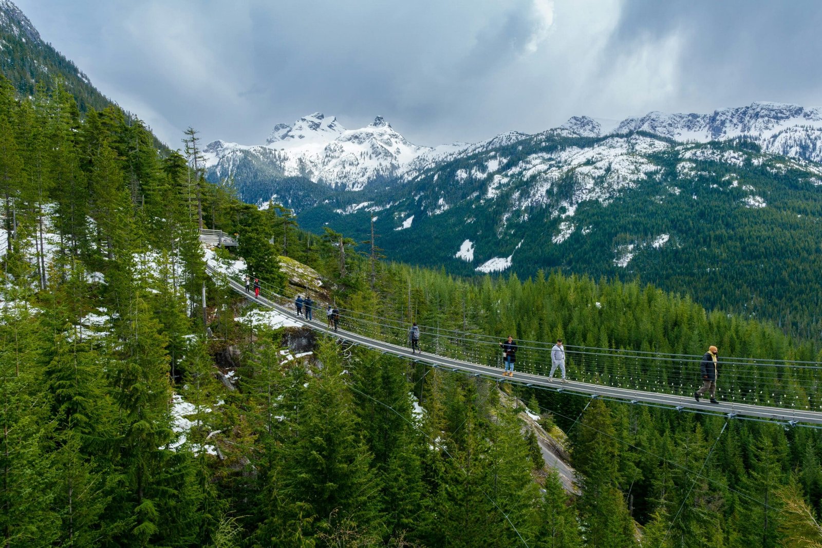
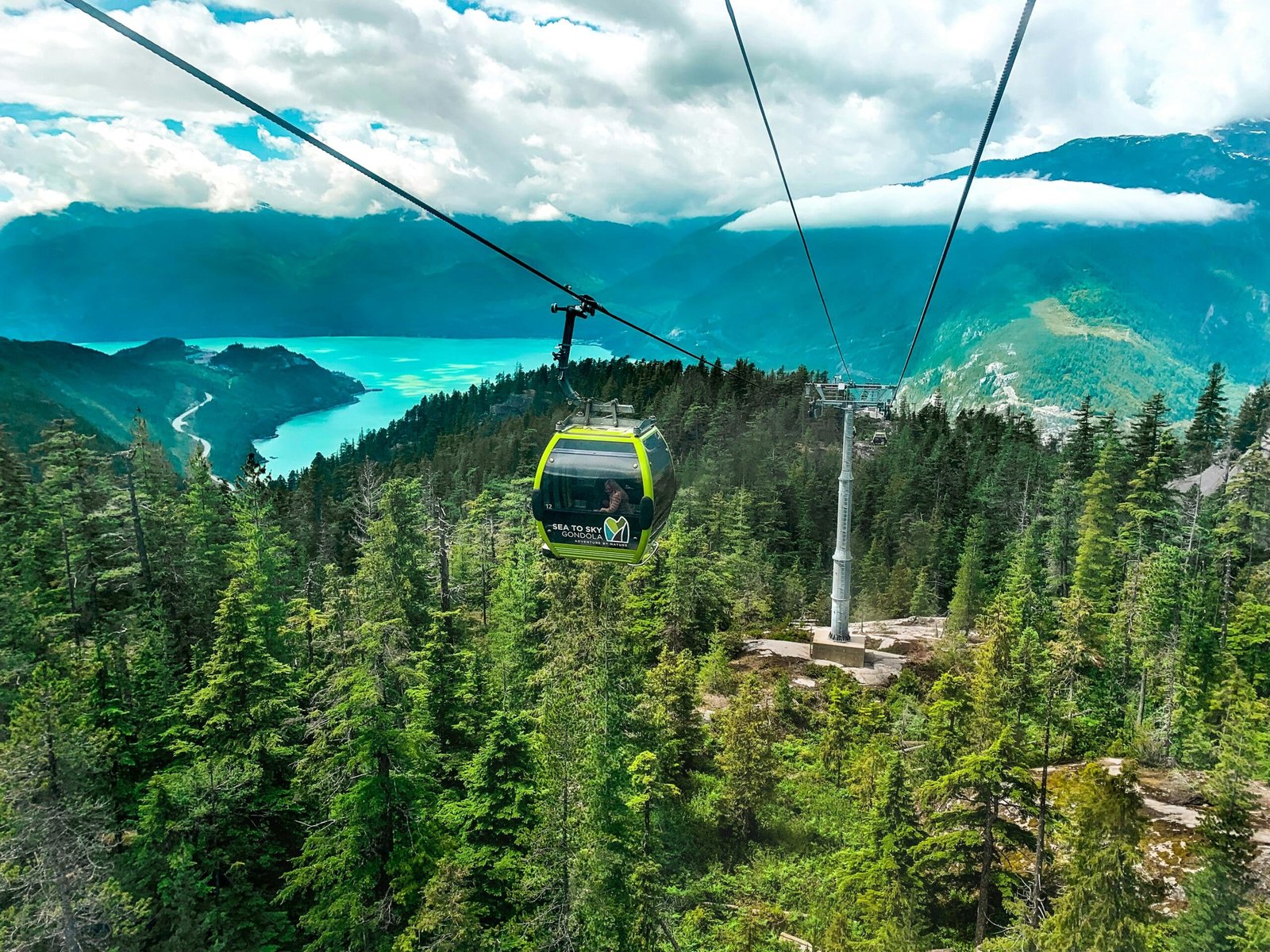
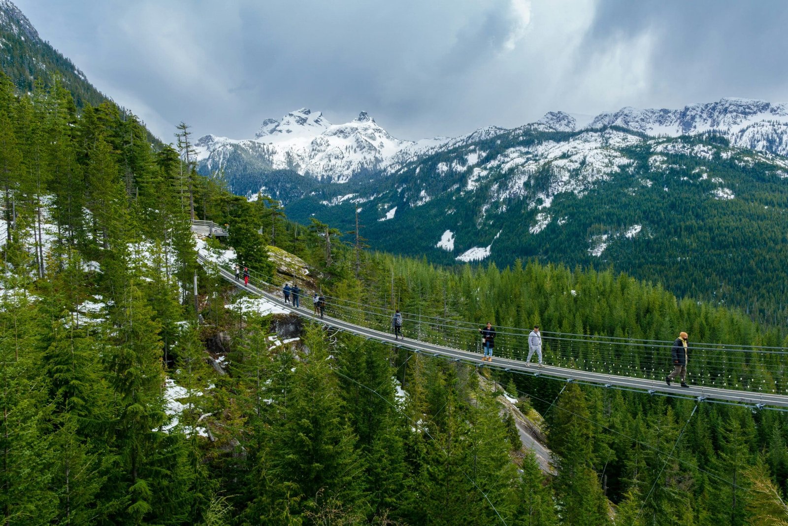
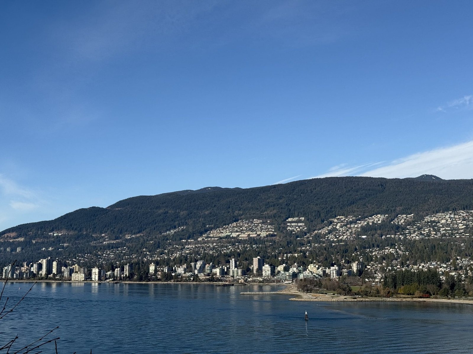
The Sea to Sky Highway is one of the best ways to end a Vancouver Rockies loop. After days of interior valleys, national parks and mountain roads, the route returns toward the Pacific Coast through Whistler, Squamish, Howe Sound and West Vancouver.
This final section is memorable because the scenery changes again. Alpine and interior landscapes give way to coastal mountains, ocean views, islands, cliffs and fjord-like water scenery.
The Sea to Sky Highway makes the return to Vancouver feel like part of the adventure rather than just the end of the trip.
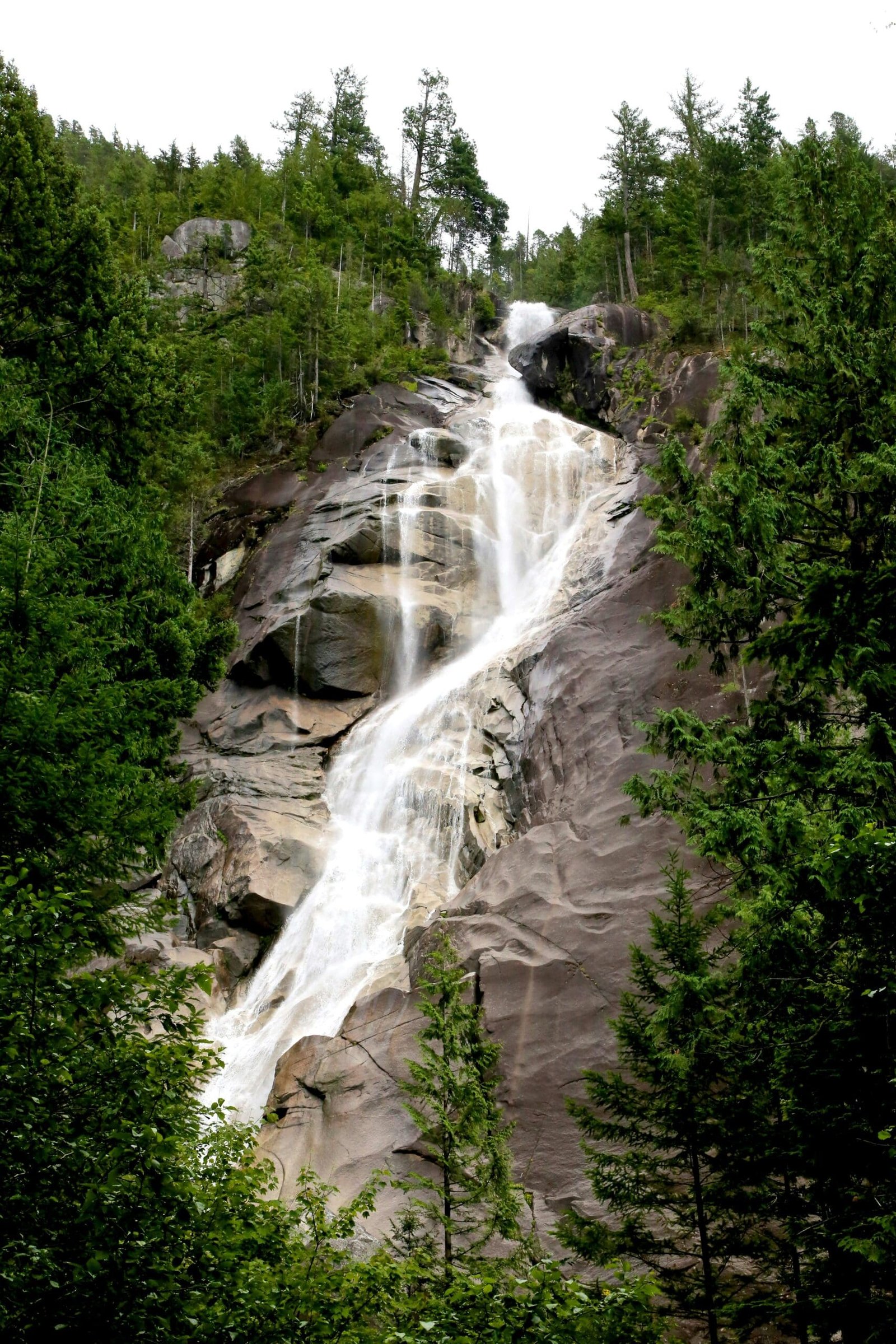
Shannon Falls
Shannon Falls is one of the classic Sea to Sky stops. Located near Squamish, it offers an accessible waterfall experience close to the highway.
It is a good final nature stop because it requires only a short visit but still feels impressive. The waterfall, forest and mountain setting make it a satisfying pause before the route continues toward Vancouver.
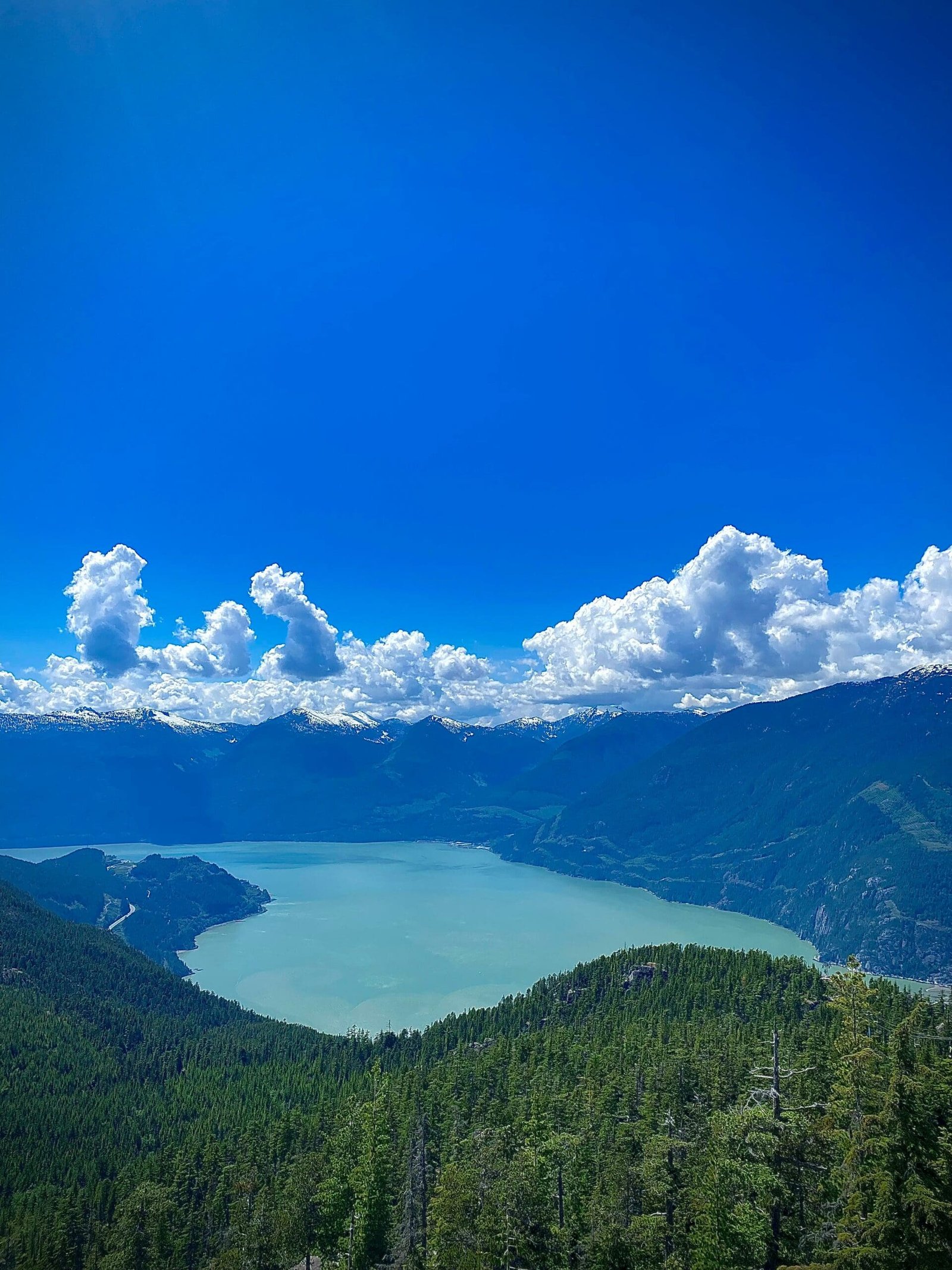
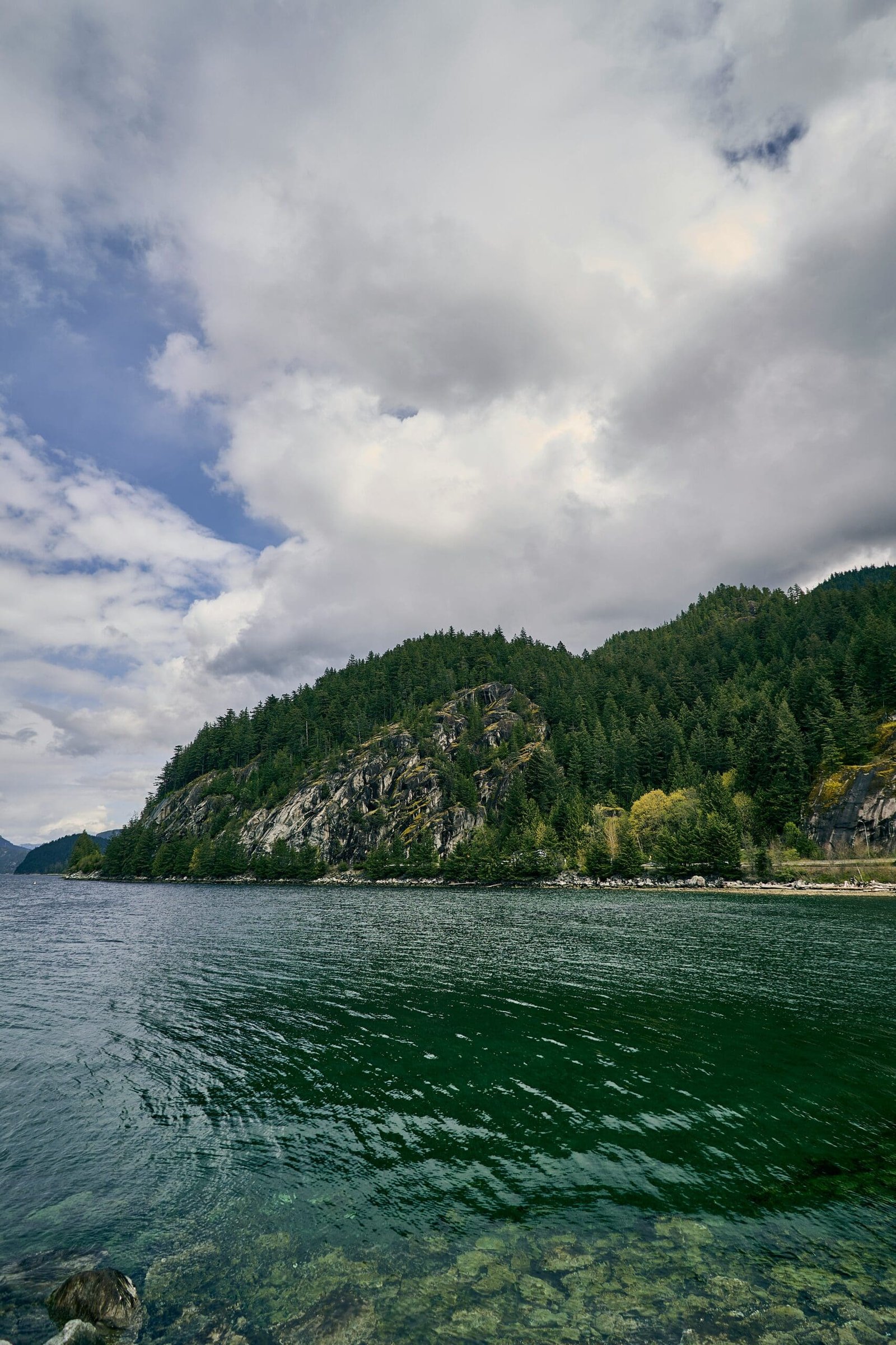
Howe Sound and Coastal Mountain Views
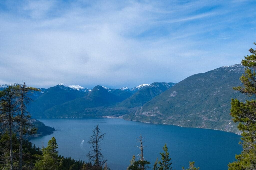
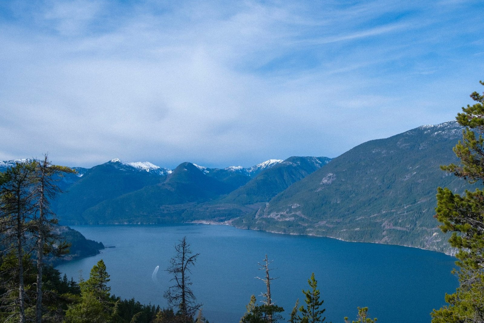
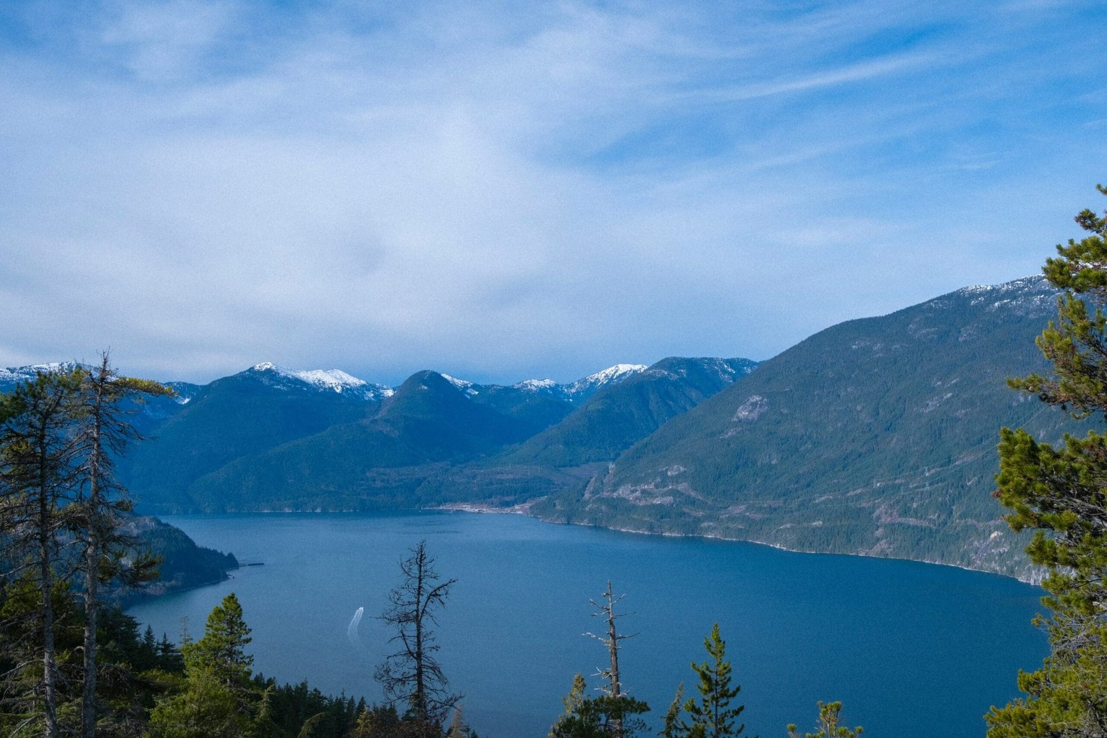
Howe Sound is one of the defining views of the Sea to Sky corridor. The combination of ocean, islands, cliffs and mountains creates a completely different feeling from the Rockies.
This is why the loop feels so complete. It begins and ends with coastal British Columbia, but in between it crosses interior valleys, high mountain parks, glaciers, waterfalls and resort villages.
Best Time to Travel a Vancouver Rockies Loop
The best time for a Vancouver Rockies loop depends on what you want to prioritize.
Summer usually offers the broadest access, longest daylight and the easiest conditions for combining Okanagan, Banff, Jasper, Wells Gray, Whistler and the Sea to Sky Highway. It is also the busiest season, so accommodation and attraction planning are important.
Early autumn can be excellent for softer light, cooler temperatures and fewer crowds in some areas. September is often a strong choice for travellers who want good access without the peak summer atmosphere.
Spring can be beautiful but more limited. Some lakes may still be frozen, higher-elevation areas can remain snowy, and seasonal roads or attractions may not yet be open.
Winter creates a very different trip. Banff, Jasper and Whistler can be beautiful in snow, but a full loop becomes more complex because of winter driving, shorter daylight, seasonal closures and mountain road conditions.
Common Mistakes to Avoid
One common mistake is treating the loop like a checklist. There are too many worthwhile places to see everything deeply in one trip. The route works best when travellers choose meaningful stops and allow time to enjoy them.
Another mistake is ignoring seasonal access. Moraine Lake, Takakkaw Falls, gondolas, glacier experiences and some mountain roads or activities may be seasonal or restricted.
A third mistake is underestimating driving time. Distances in Western Canada are large, and mountain roads take more time than they appear to on a map.
Travellers also sometimes book accommodation too late. Popular places such as Banff, Lake Louise, Jasper, Whistler, Revelstoke and Kelowna can fill quickly during peak travel periods.
Finally, many visitors forget that weather can change dramatically between regions. Vancouver, the Okanagan, Banff, Jasper, Wells Gray and Whistler can all feel different during the same week.
How to Choose the Most Important Stops
If your priority is famous Rockies scenery, focus on Banff, Lake Louise, Moraine Lake, Icefields Parkway and Columbia Icefield.
If your priority is waterfalls, focus on Johnston Canyon, Athabasca Falls, Sunwapta Falls, Helmcken Falls, Spahats Falls and Shannon Falls.
If your priority is mountain towns, spend more time in Revelstoke, Banff, Jasper, Canmore, Pemberton and Whistler.
If your priority is variety, keep the full loop shape: Okanagan, Rockies, Jasper, Wells Gray, Whistler and Sea to Sky.
If your priority is photography, plan fewer stops with better timing rather than trying to photograph every famous location in harsh light or rushed conditions.
Who Will Enjoy This Route Most?
A Vancouver Rockies loop is ideal for travellers who want a broad, scenic, multi-region experience. It works especially well for:
- First-time visitors who want more than Banff and Lake Louise
- Couples looking for a scenic private journey
- Families who want variety without flying between regions
- Small groups interested in lakes, glaciers, waterfalls and mountain towns
- Photography-focused travellers
- Nature lovers who want both Rockies and coastal mountain scenery
- Travellers who want to start and end in Vancouver
It may not be ideal for travellers who dislike long driving days or prefer staying in one place. For slow travel, it is better to choose fewer regions and spend more nights in each.
Final Thoughts
A Vancouver Rockies loop is one of the most complete scenic routes in Western Canada. It combines the Okanagan Valley, Revelstoke, Glacier National Park, Yoho, Banff, Icefields Parkway, Jasper, Mount Robson, Wells Gray, Lillooet, Pemberton, Whistler and the Sea to Sky Highway into one broad journey.
The route is memorable because it never feels like one type of scenery for too long. Lakes give way to vineyards, vineyards to mountain towns, mountain towns to national parks, national parks to glaciers, glaciers to waterfalls, waterfalls to Coast Mountains, and the Coast Mountains back to the Pacific.
The best way to enjoy this loop is to travel with realistic expectations. Do not rush every stop. Check seasonal access. Leave space for weather. Book accommodations early. Choose the sights that matter most to your group.
Done well, this route gives travellers a powerful sense of Western Canada’s scale, beauty and variety — from the coast to the Rockies and back again.
Prefer a Planned Vancouver Rockies Loop?
If you would rather avoid managing long-distance driving, daily route planning, seasonal access checks and stop-by-stop logistics, Arrow Travel & Transit offers a private tailor-made Rockies loop from Vancouver.
Prefer a Planned Vancouver Rockies Loop?
If you would rather avoid managing long-distance driving, daily route planning, seasonal access checks and stop-by-stop logistics, Arrow Travel & Transit offers a private tailor-made Rockies loop from Vancouver.
FAQ
Find quick answers about our tours, booking process, and what to expect.
What are the best places on a Vancouver Rockies loop?
Some of the best places on a Vancouver Rockies loop include the Okanagan Valley, Revelstoke, Glacier National Park, Rogers Pass, Yoho National Park, Banff, Lake Louise, Moraine Lake, Icefields Parkway, Columbia Icefield, Jasper, Mount Robson, Wells Gray, Whistler and the Sea to Sky Highway.
Is a Vancouver Rockies loop worth it?
Yes. A Vancouver Rockies loop is worth it if you want a scenic route that starts and ends in Vancouver while covering both the Canadian Rockies and major British Columbia highlights such as Wells Gray, Whistler and the Okanagan.
How many days do you need for a Vancouver Rockies loop?
A highlights loop can be done in about a week if it is planned carefully, but a slower trip with more hiking, longer lake visits and extra time in Banff, Jasper or Whistler would benefit from more days.
Is Banff or Jasper better?
Banff is better for classic iconic scenery, Lake Louise, Moraine Lake and visitor services. Jasper often feels quieter, wilder and more spacious. The best route includes both if time and access allow.
Is Wells Gray Provincial Park worth visiting?
Yes. Wells Gray is worth visiting for waterfalls, forest scenery and a less crowded nature experience. Helmcken Falls and Spahats Falls are two of the strongest reasons to include it on a loop route.
Is Whistler worth adding to a Rockies loop?
Yes. Whistler adds resort village atmosphere, Coast Mountain scenery, gondolas and the Sea to Sky Highway finale back to Vancouver. It gives the route a strong coastal mountain ending.
What is the best season for a Vancouver Rockies loop?
Summer offers the broadest access and longest daylight. Early autumn can also be excellent for scenery and cooler temperatures. Spring and winter can be beautiful but require more planning because of snow, closures and changing road conditions.
Do you need a national park pass?
Yes, visitors entering Canadian national parks such as Banff, Jasper, Yoho and Glacier generally need a valid Parks Canada pass. Some provincial parks and attractions may have separate rules or fees.
Can you visit Moraine Lake on this route?
Moraine Lake can be included when seasonal access is available, but visitors should check current access rules, shuttle requirements and opening dates before planning around it.
Is this route good for families?
Yes, the route can work well for families if the pace is realistic. Families should plan shorter walks, flexible stops, snacks, rest breaks and accommodations carefully because the driving distances are significant.
Emerald Lake

Lake Louise
Johnston Canyon and Bow Falls
Banff Gondola and Viewpoints
Bow Lake
Lillooet and Gold Rush Country